Transport Functions
Rail
Road
Hub Profile
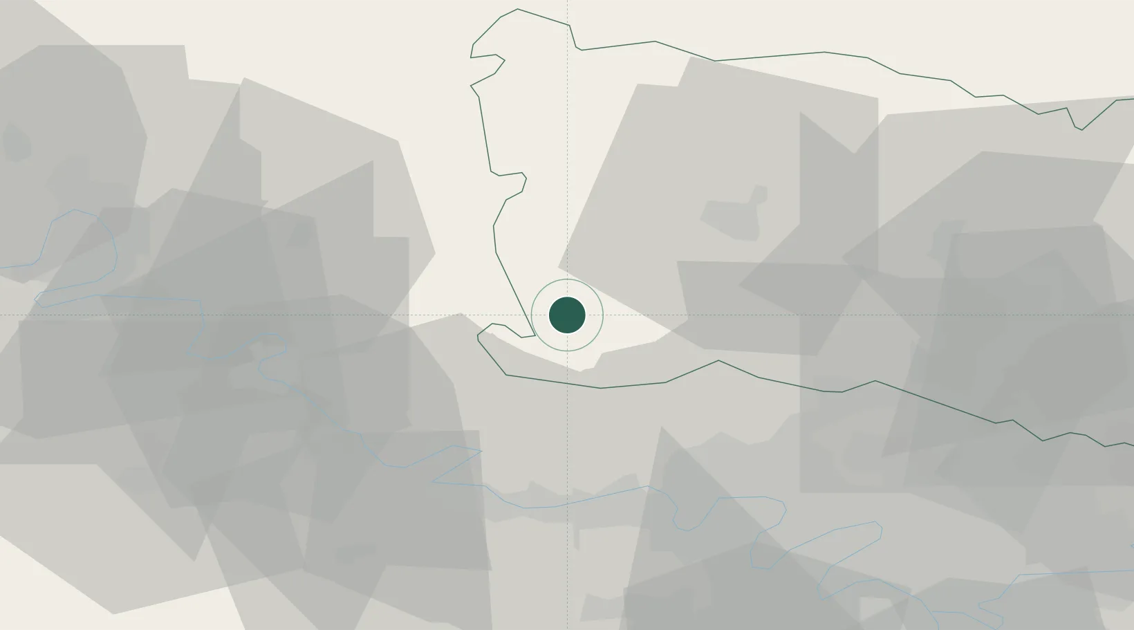
Place type
Populated place
Region
Hauts-de-France
Population
1,539
Time zone
Europe/Paris
Elevation
64 m
Location
Nearby Logistics Neighbours
Cities
- 1Chaumont-en-Vexin4 km
- 2Bézu-Saint-Éloi10 km
- 3Bernouville10 km
- 4Étrépagny16 km
- 5Saint-Crépin-Ibouvillers17 km
Ports
- 1Port Of Rouen59 km
- 2Dieppe90 km
- 3Le Treport93 km
- 4Saint-Valery-Sur-Somme101 km
- 5Honfleur118 km
Airports
Trade Zones
- 1ZFU Beauvais24 km
- 2ZFU Les Mureaux33 km
- 3ZFU Mantes-la-Jolie34 km
- 4ZFU Creil et Montataire42 km
- 5ZFU Sartrouville45 km
DatabookThe Record of Consolidated Knowledge
France beyond logistics?