Transport Functions
Multimodal
Hub Profile
Place type
Populated place
Region
Nouvelle-Aquitaine
Population
289
Time zone
Europe/Paris
Elevation
214 m
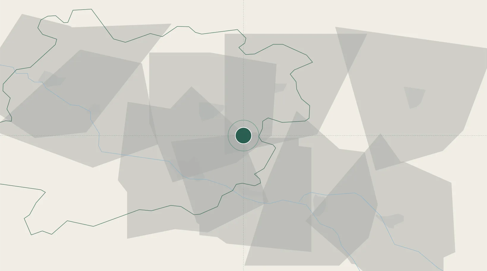
Location
Nearby Logistics Neighbours
Cities
- 1Massoulès5 km
- 2Trentels13 km
- 3Monsempron-Libos20 km
- 4Saux21 km
- 5Agen22 km
Airports
Trade Zones
- 1ZFU Toulouse93 km
- 2ZFU Hauts de Garonne125 km
- 3Port de Bordeaux127 km
- 4ZFU Béziers220 km
- 5ZFU Clermont-Ferrand240 km
DatabookThe Record of Consolidated Knowledge
France beyond logistics?