Transport Functions
Port
Rail
Airport
Hub Profile
Place type
Provincial seat
Region
Nouvelle-Aquitaine
Population
34,367
Time zone
Europe/Paris
Elevation
57 m
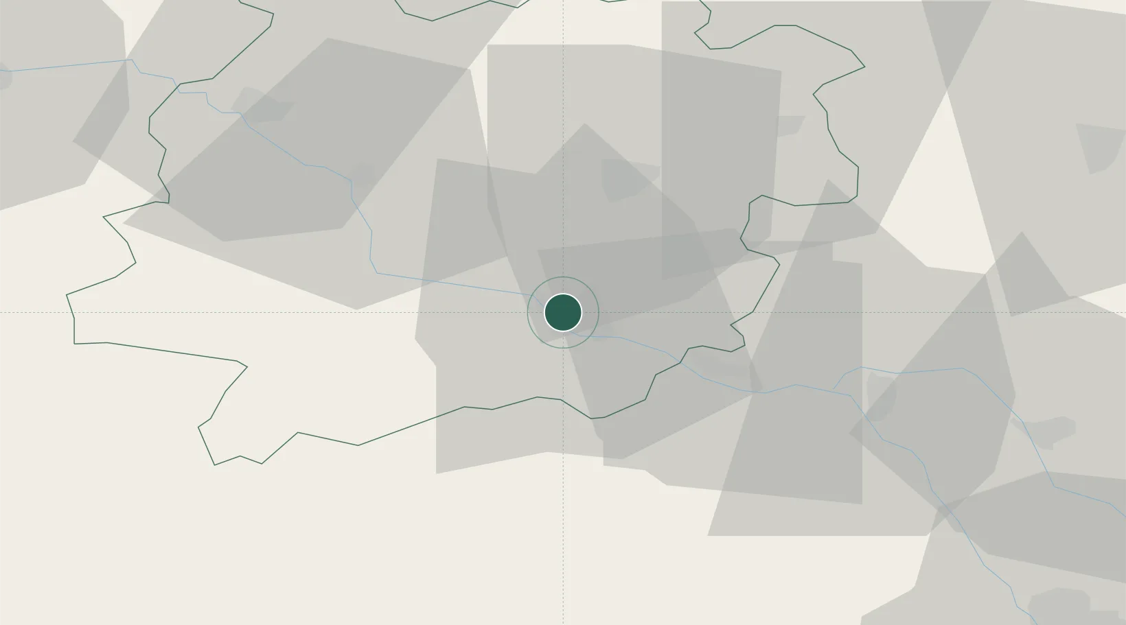
Location
Nearby Logistics Neighbours
Cities
- 1Bruch16 km
- 2Calignac16 km
- 3Lamagistère17 km
- 4Bazens18 km
- 5Port-Sainte-Marie18 km
Airports
Trade Zones
- 1ZFU Toulouse94 km
- 2ZFU Hauts de Garonne118 km
- 3Port de Bordeaux121 km
- 4Depósito Franco de Pasajes (Guipúzcoa)226 km
- 5ZFU Béziers230 km
DatabookThe Record of Consolidated Knowledge
France beyond logistics?