UN/LOCODE hub · France
FRLP9

Le Pont-Chrétien-Chabenet

46.6333°, 1.4833°
1
Transport functions

Transport Functions

Multimodal
UN/LOCODE

Hub Profile

Place type
Populated place
GeoNames
Region
Centre-Val de Loire
GeoNames
Time zone
Europe/Paris
GeoNames
Elevation
133 m
GeoNames

Location

Location of FRLP9
Natural Earth 10m (public domain) · Centre-Val de Loire · FRLP9 · 46.63, 1.48GoogleOSMYandex

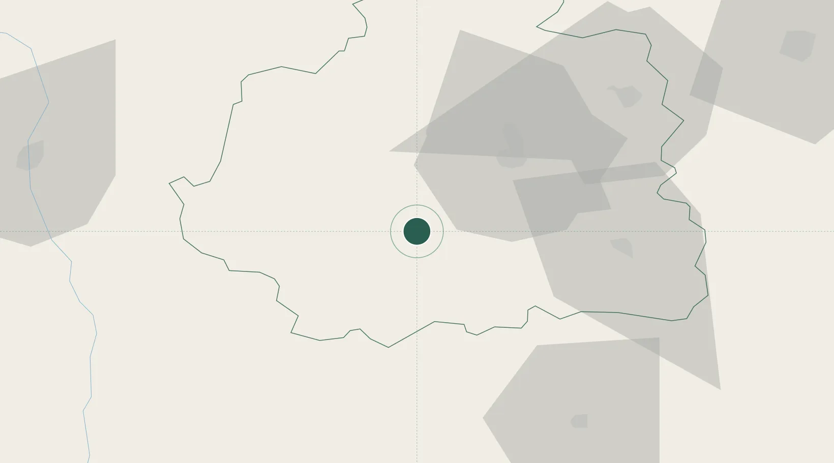
Nearby Logistics Neighbours

Cities
  1. 1Argenton-sur-Creuse6 km
  2. 2Mouhers24 km
  3. 3La Cueille25 km
  4. 4Châteauroux26 km
  5. 5Mézières-en-Brenne30 km
Nearest neighbours — logibook spatial index (haversine) over the source coordinates
Ports
  1. 1Tonnay Charente199 km
  2. 2Rochefort203 km
  3. 3La Rochelle209 km
  4. 4La Pallice213 km
  5. 5Le Verdon230 km
Nearest neighbours — logibook spatial index (haversine) over the source coordinates
Airports
  1. 1Châteauroux Déols airport31 km
  2. 2Montluçon-Guéret Airport82 km
  3. 3Bourges airport82 km
  4. 4Limoges Airport89 km
  5. 5Poitiers-Biard Airport90 km
Nearest neighbours — logibook spatial index (haversine) over the source coordinates
Trade Zones
  1. 1ZFU Bourges81 km
  2. 2ZFU Blois107 km
  3. 3ZFU Orléans141 km
  4. 4ZFU Clermont-Ferrand155 km
  5. 5ZFU Le Mans182 km
Nearest neighbours — logibook spatial index (haversine) over the source coordinates
DatabookThe Record of Consolidated Knowledge
France beyond logistics?
Browse databook

All Sources

LocationsUN/LOCODE
UN/LOCODE — free
Portsthe NGA World Port Index
Public domain (US gov)
AirportsOurAirports
Public domain
Trade Zonesthe World Bank SEZ database
CC BY 4.0
Trade ZonesOpen Zone Map
CC BY
← France locations