UN/LOCODE hub · France
FRCHR

Châteauroux

46.8167°, 1.6833°
53,301
Population
2
Transport functions

Transport Functions

Rail
Airport
UN/LOCODE

Hub Profile

Place type
Provincial seat
GeoNames
Region
Centre-Val de Loire
GeoNames
Population
53,301
GeoNames
Time zone
Europe/Paris
GeoNames
Elevation
160 m
GeoNames

Location

Location of FRCHR
Natural Earth 10m (public domain) · Centre-Val de Loire · FRCHR · 46.82, 1.68GoogleOSMYandex

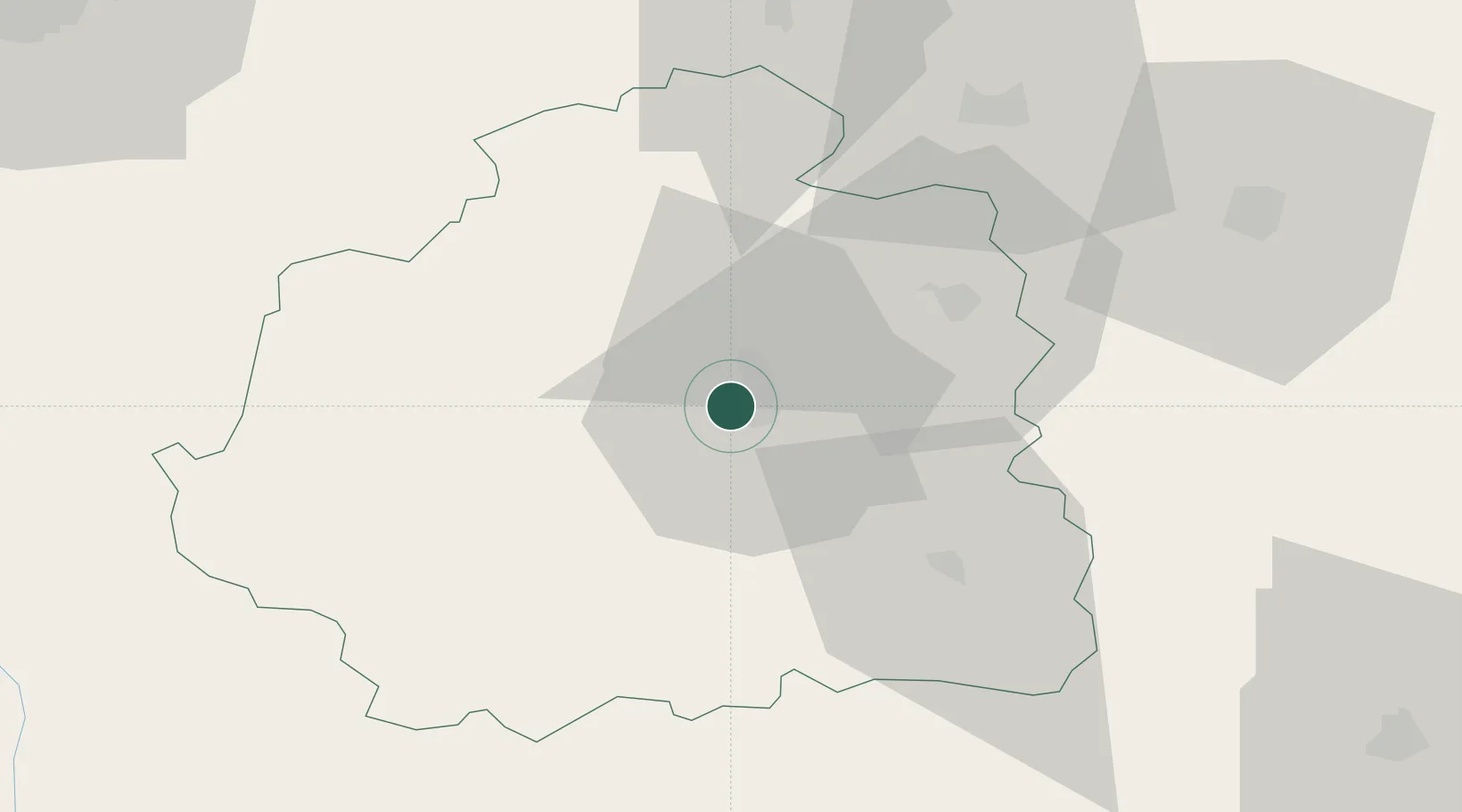
Nearby Logistics Neighbours

Cities
  1. 1La Cueille10 km
  2. 2Neuvy-Pailloux15 km
  3. 3Saint-Valentin20 km
  4. 4Lizeray25 km
  5. 5Le Pont-Chrétien-Chabenet26 km
Nearest neighbours — logibook spatial index (haversine) over the source coordinates
Ports
  1. 1Tonnay Charente221 km
  2. 2Rochefort225 km
  3. 3La Rochelle229 km
  4. 4La Pallice234 km
  5. 5Nantes250 km
Nearest neighbours — logibook spatial index (haversine) over the source coordinates
Airports
  1. 1Châteauroux Déols airport6 km
  2. 2Bourges airport59 km
  3. 3Avord (BA 702) Air Base77 km
  4. 4Montluçon-Guéret Airport84 km
  5. 5Tours Val de Loire Airport100 km
Nearest neighbours — logibook spatial index (haversine) over the source coordinates
Trade Zones
  1. 1ZFU Bourges57 km
  2. 2ZFU Blois91 km
  3. 3ZFU Orléans118 km
  4. 4ZFU Clermont-Ferrand157 km
  5. 5ZFU Le Mans175 km
Nearest neighbours — logibook spatial index (haversine) over the source coordinates
DatabookThe Record of Consolidated Knowledge
France beyond logistics?
Browse databook

All Sources

LocationsUN/LOCODE
UN/LOCODE — free
LocationsGeoNames
CC BY 4.0
Portsthe NGA World Port Index
Public domain (US gov)
AirportsOurAirports
Public domain
Trade Zonesthe World Bank SEZ database
CC BY 4.0
Trade ZonesOpen Zone Map
CC BY
← France locations