Transport Functions
Port
Hub Profile
Place type
Populated place
Region
Brittany
Population
2,429
Time zone
Europe/Paris
Elevation
39 m
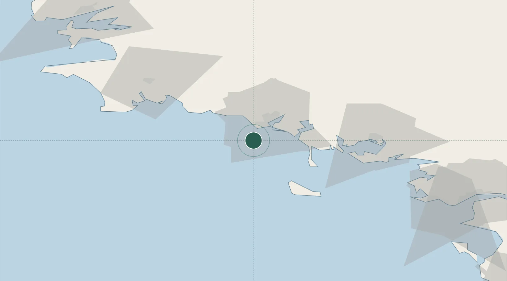
Location
Nearby Logistics Neighbours
Cities
- 1Lamor-Plage10 km
- 2Locmiquélic13 km
- 3Port-Louis13 km
- 4Lorient15 km
- 5Etel20 km
Ports
- 1Lorient16 km
- 2Concarneau43 km
- 3St Nazaire103 km
- 4Montoir107 km
- 5Morlaix109 km
Airports
Trade Zones
- 1ZFU Saint-Nazaire98 km
- 2ZFU Nantes et Saint-Herblain140 km
- 3ZFU Angers216 km
- 4ZFU La Rochelle237 km
- 5ZFU Cherbourg-Octeville259 km
DatabookThe Record of Consolidated Knowledge
France beyond logistics?