Transport Functions
Port
Road
Hub Profile
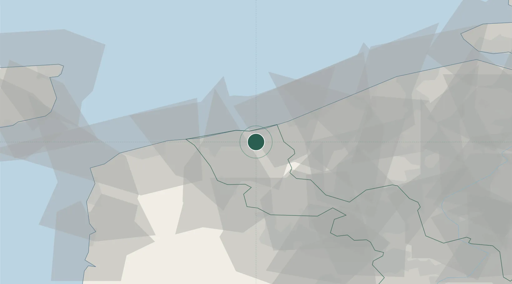
Place type
Populated place
Region
Hauts-de-France
Population
7,465
Time zone
Europe/Paris
Elevation
2 m
Location
Nearby Logistics Neighbours
Cities
- 1Cappelle-la-Grande5 km
- 2Armbouts-Cappel5 km
- 3Saint-Pol-sur-Mer6 km
- 4Leffrinckoucke7 km
- 5Spycker8 km
Ports
- 1Dunkerque Port Est9 km
- 2Gravelines21 km
- 3Nieuwpoort28 km
- 4Calais40 km
- 5Oostende44 km
Airports
Trade Zones
- 1ZFU Saint Pol sur Mer7 km
- 2ZFU Calais41 km
- 3ZFU de Lille et de Loos59 km
- 4ZFU Tourcoing61 km
- 5ZFU Hem et Roubaix63 km
DatabookThe Record of Consolidated Knowledge
France beyond logistics?