UN/LOCODE hub · France
FRCGR
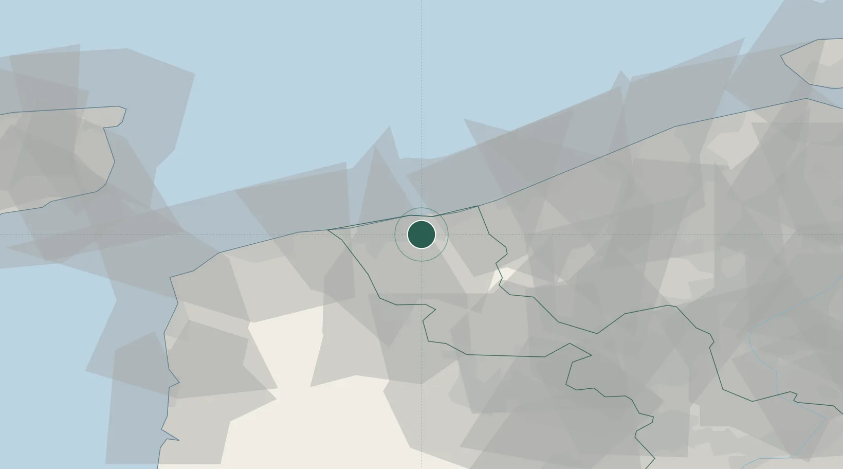
Cappelle-la-Grande
51.0000°, 2.3500°
8,293
Population
2
Transport functions
Transport Functions
Rail
Road
Hub Profile
Place type
Populated place
Region
Hauts-de-France
Population
8,293
Time zone
Europe/Paris
Elevation
5 m
Location
Nearby Logistics Neighbours
Cities
- 1Armbouts-Cappel2 km
- 2Saint-Pol-sur-Mer4 km
- 3Spycker4 km
- 4Téteghem5 km
- 5Grande-Synthe5 km
Ports
- 1Dunkerque Port Est7 km
- 2Gravelines16 km
- 3Nieuwpoort32 km
- 4Calais35 km
- 5Oostende47 km
Airports
Trade Zones
- 1ZFU Saint Pol sur Mer4 km
- 2ZFU Calais37 km
- 3ZFU de Lille et de Loos62 km
- 4ZFU Tourcoing65 km
- 5ZFU Hem et Roubaix67 km
DatabookThe Record of Consolidated Knowledge
France beyond logistics?