Transport Functions
Multimodal
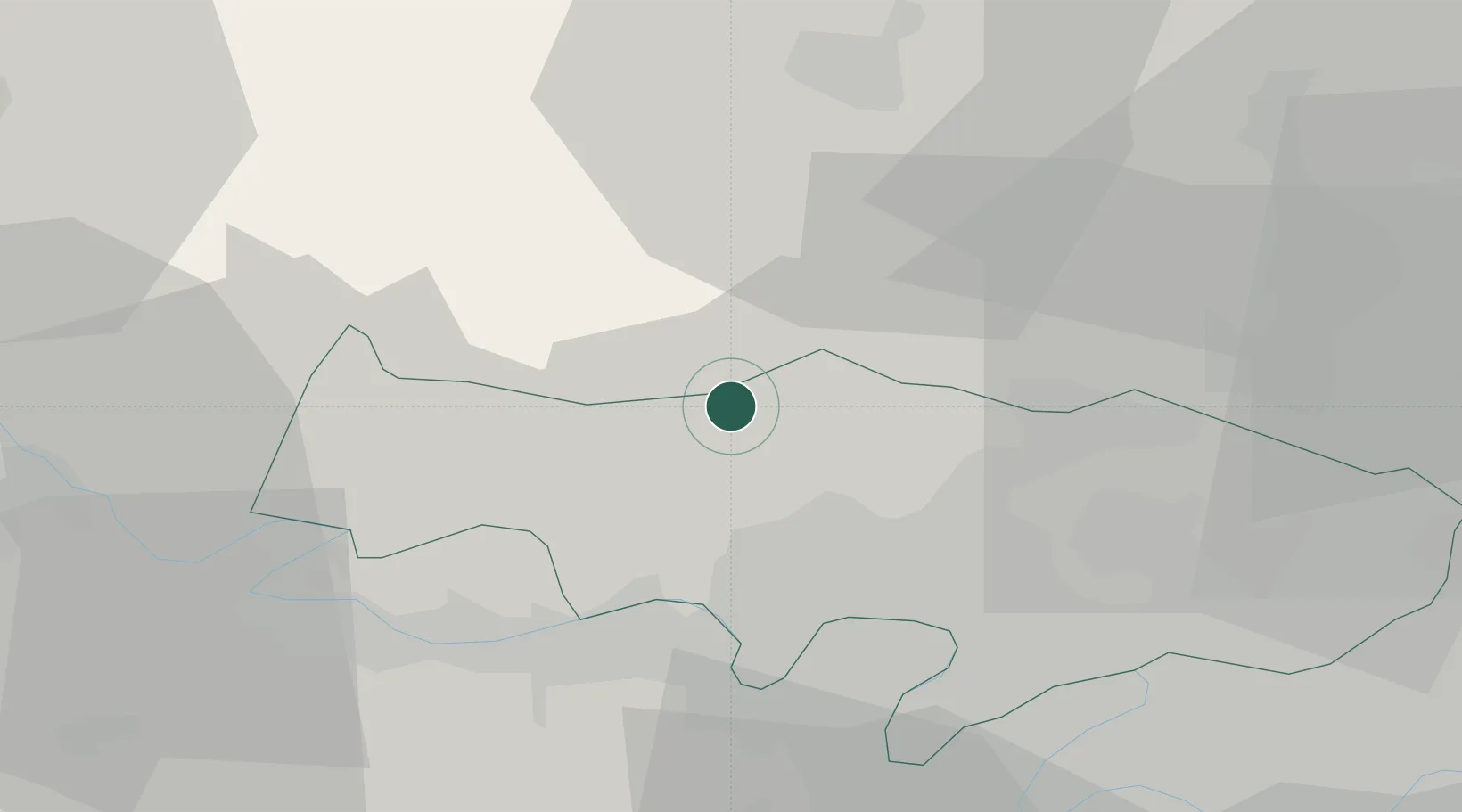
Hub Profile
Place type
Populated place
Region
Île-de-France
Population
198
Time zone
Europe/Paris
Elevation
145 m
Location
Nearby Logistics Neighbours
Cities
- 1Amblainville9 km
- 2Livilliers10 km
- 3Boissy-l'Aillerie11 km
- 4Labbeville12 km
- 5Saint-Crépin-Ibouvillers12 km
Ports
- 1Port Of Rouen75 km
- 2Dieppe108 km
- 3Le Treport110 km
- 4Saint-Valery-Sur-Somme116 km
- 5Honfleur132 km
Airports
Trade Zones
- 1ZFU Les Mureaux21 km
- 2ZFU Sartrouville28 km
- 3ZFU Mantes-la-Jolie29 km
- 4ZFU Argenteuil29 km
- 5ZFU Beauvais31 km
DatabookThe Record of Consolidated Knowledge
France beyond logistics?