UN/LOCODE hub · France
FRC2I

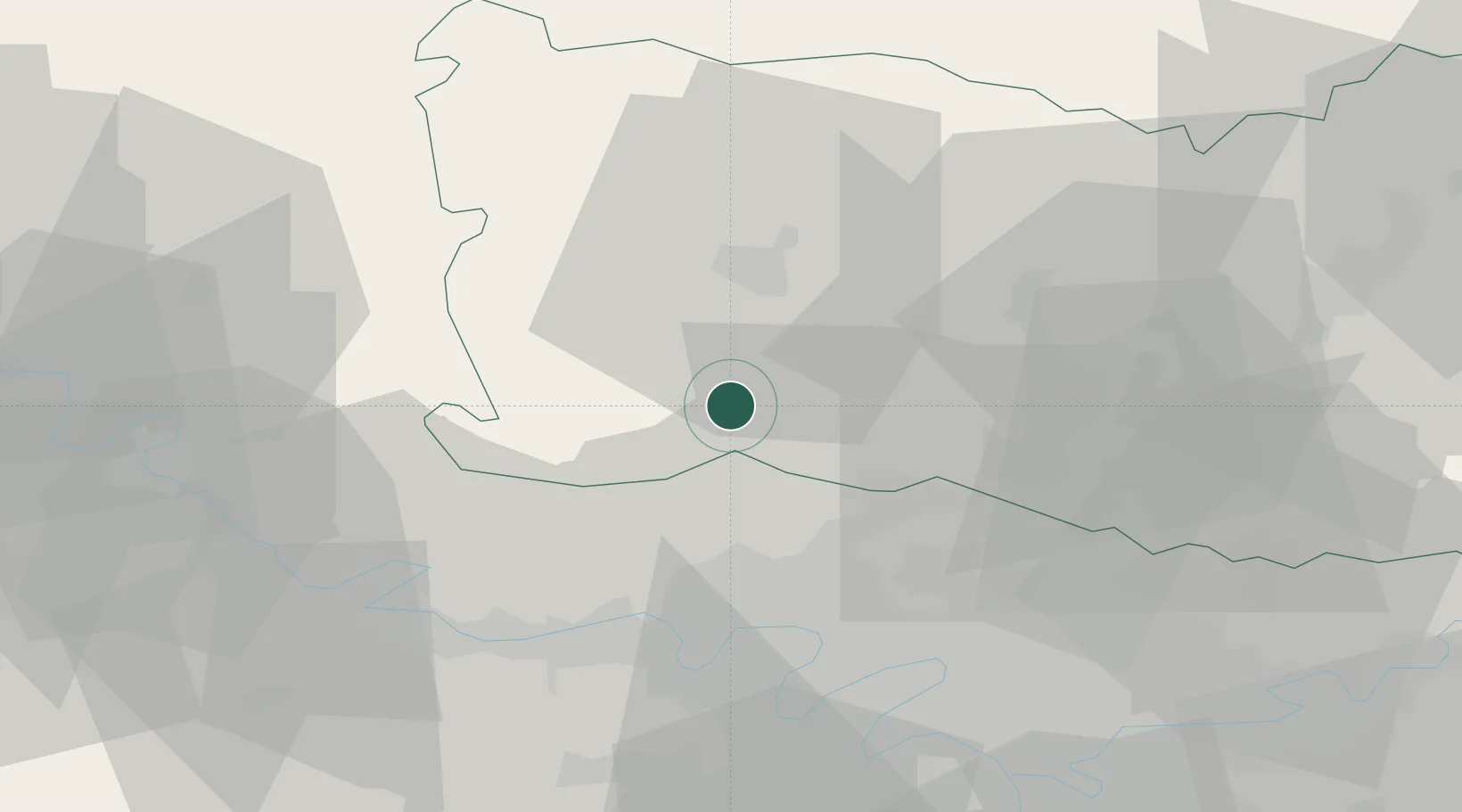
Saint-Crépin-Ibouvillers

49.2667°, 2.0667°
1,076
Population
2
Transport functions

Transport Functions

Road
Multimodal
UN/LOCODE

Hub Profile

Place type
Populated place
GeoNames
Region
Hauts-de-France
GeoNames
Population
1,076
GeoNames
Time zone
Europe/Paris
GeoNames
Elevation
133 m
GeoNames

Location

Location of FRC2I
Natural Earth 10m (public domain) · Hauts-de-France · FRC2I · 49.27, 2.07GoogleOSMYandex

Nearby Logistics Neighbours

Cities
  1. 1Amblainville8 km
  2. 2Le Heaulme12 km
  3. 3Chaumont-en-Vexin13 km
  4. 4Cauvigny14 km
  5. 5Villers-Saint-Sépulcre15 km
Nearest neighbours — logibook spatial index (haversine) over the source coordinates
Ports
  1. 1Port Of Rouen75 km
  2. 2Le Treport102 km
  3. 3Dieppe103 km
  4. 4Saint-Valery-Sur-Somme107 km
  5. 5Fecamp135 km
Nearest neighbours — logibook spatial index (haversine) over the source coordinates
Airports
  1. 1Pontoise-Cormeilles Aerodrome19 km
  2. 2Beauvais-Tillé airport21 km
  3. 3Creil Air Base33 km
  4. 4Paris-Le Bourget International Airport43 km
  5. 5Charles de Gaulle International Airport46 km
Nearest neighbours — logibook spatial index (haversine) over the source coordinates
Trade Zones
  1. 1ZFU Beauvais20 km
  2. 2ZFU Creil et Montataire25 km
  3. 3ZFU Les Mureaux34 km
  4. 4ZFU Villiers-le-Bel37 km
  5. 5ZFU Argenteuil37 km
Nearest neighbours — logibook spatial index (haversine) over the source coordinates
DatabookThe Record of Consolidated Knowledge
France beyond logistics?
Browse databook

All Sources

LocationsUN/LOCODE
UN/LOCODE — free
LocationsGeoNames
CC BY 4.0
Portsthe NGA World Port Index
Public domain (US gov)
AirportsOurAirports
Public domain
Trade Zonesthe World Bank SEZ database
CC BY 4.0
Trade ZonesOpen Zone Map
CC BY
← France locations