Transport Functions
Road
Multimodal
Hub Profile
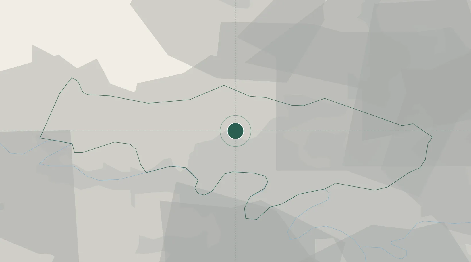
Place type
Populated place
Region
Île-de-France
Population
391
Time zone
Europe/Paris
Elevation
105 m
Location
Nearby Logistics Neighbours
Cities
- 1Labbeville5 km
- 2Boissy-l'Aillerie6 km
- 3Nesles-la-Vallée7 km
- 4Auvers-sur-Oise7 km
- 5Cergy8 km
Ports
- 1Port Of Rouen85 km
- 2Dieppe118 km
- 3Le Treport120 km
- 4Saint-Valery-Sur-Somme125 km
- 5Honfleur141 km
Airports
Trade Zones
- 1ZFU Sartrouville19 km
- 2ZFU Argenteuil19 km
- 3ZFU Les Mureaux20 km
- 4ZFU Epinay-sur-Seine22 km
- 5ZFU Villiers-le-Bel23 km
DatabookThe Record of Consolidated Knowledge
France beyond logistics?