Transport Functions
Rail
Road
Hub Profile
Place type
Populated place
Region
Île-de-France
Time zone
Europe/Paris
Elevation
66 m
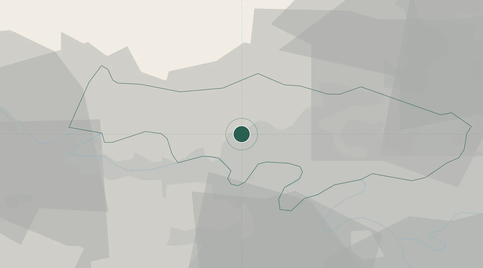
Location
Nearby Logistics Neighbours
Cities
- 1Cergy5 km
- 2Jouy-le-Moutier6 km
- 3Livilliers6 km
- 4Maurecourt8 km
- 5Verneuil-sur-Seine10 km
Ports
- 1Port Of Rouen82 km
- 2Dieppe118 km
- 3Le Treport121 km
- 4Saint-Valery-Sur-Somme128 km
- 5Honfleur138 km
Airports
Trade Zones
- 1ZFU Les Mureaux14 km
- 2ZFU Sartrouville17 km
- 3ZFU Argenteuil19 km
- 4ZFU Epinay-sur-Seine23 km
- 5ZFU Mantes-la-Jolie25 km
DatabookThe Record of Consolidated Knowledge
France beyond logistics?