Transport Functions
Road
Multimodal
Hub Profile
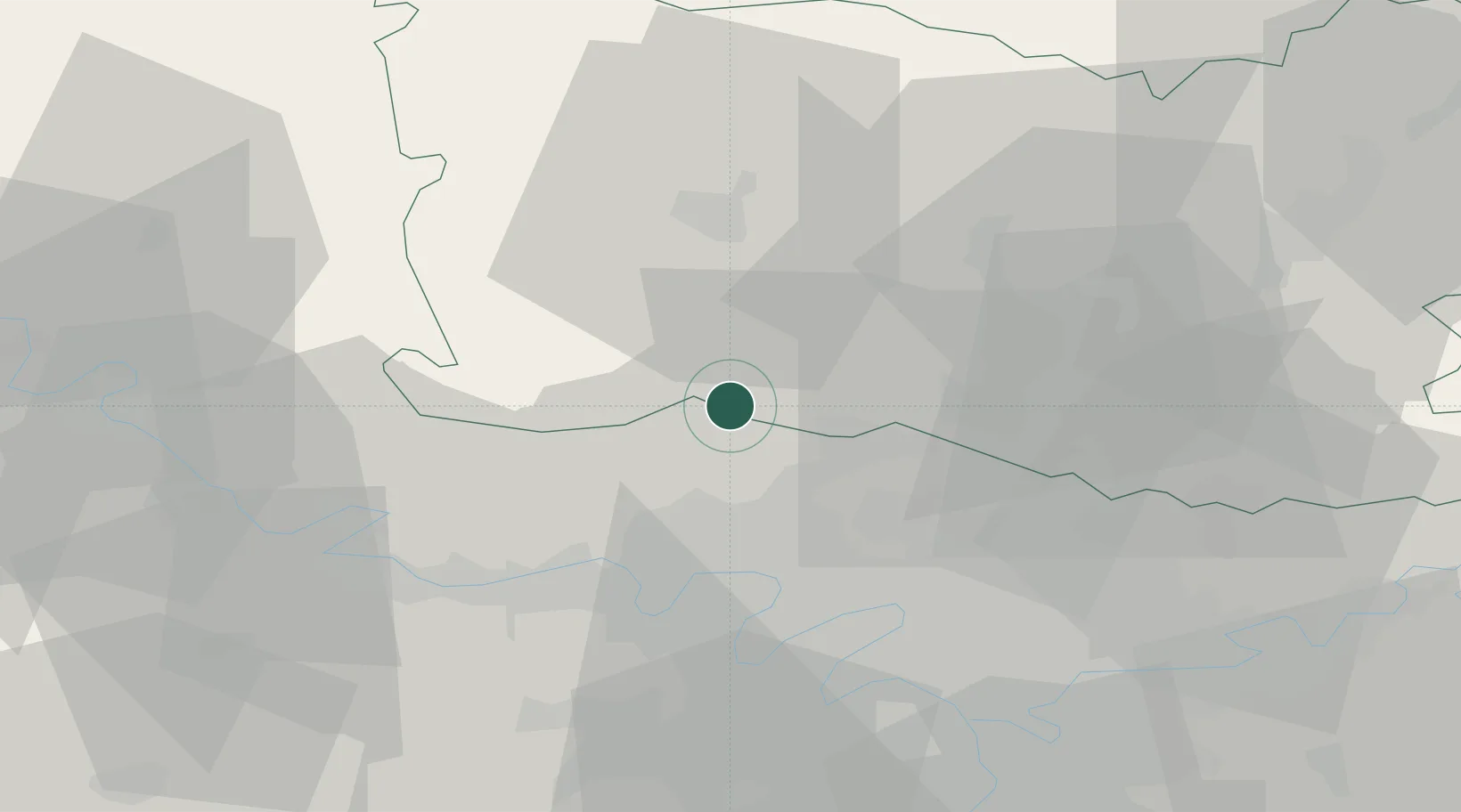
Place type
Populated place
Region
Hauts-de-France
Population
1,757
Time zone
Europe/Paris
Elevation
90 m
Location
Nearby Logistics Neighbours
Cities
- 1Labbeville8 km
- 2Ronquerolles8 km
- 3Saint-Crépin-Ibouvillers8 km
- 4Nesles-la-Vallée9 km
- 5Le Heaulme9 km
Ports
- 1Port Of Rouen81 km
- 2Dieppe111 km
- 3Le Treport111 km
- 4Saint-Valery-Sur-Somme115 km
- 5Honfleur140 km
Airports
Trade Zones
- 1ZFU Creil et Montataire23 km
- 2ZFU Beauvais28 km
- 3ZFU Les Mureaux29 km
- 4ZFU Villiers-le-Bel29 km
- 5ZFU Argenteuil29 km
DatabookThe Record of Consolidated Knowledge
France beyond logistics?