Transport Functions
Rail
Road
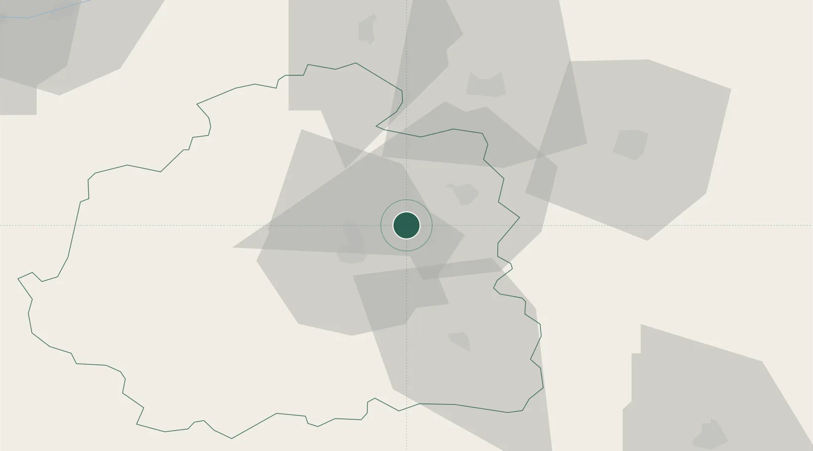
Hub Profile
Place type
Populated place
Region
Centre-Val de Loire
Population
1,287
Time zone
Europe/Paris
Elevation
150 m
Location
Nearby Logistics Neighbours
Cities
- 1Saint-Valentin8 km
- 2Lizeray12 km
- 3Châteauroux15 km
- 4La Cueille16 km
- 5Sainte-Lizaigne18 km
Ports
- 1Tonnay Charente236 km
- 2Rochefort239 km
- 3La Rochelle244 km
- 4La Pallice248 km
- 5Nantes261 km
Airports
- 1Châteauroux Déols airport10 km
- 2Bourges airport44 km
- 3Avord (BA 702) Air Base62 km
- 4Montluçon-Guéret Airport83 km
- 5Nevers-Fourchambault Airport97 km
Trade Zones
- 1ZFU Bourges42 km
- 2ZFU Blois89 km
- 3ZFU Orléans110 km
- 4ZFU Clermont-Ferrand154 km
- 5ZFU Le Mans178 km
DatabookThe Record of Consolidated Knowledge
France beyond logistics?