Transport Functions
Port
Hub Profile
Place type
Populated place
Region
Centre-Val de Loire
Population
274
Time zone
Europe/Paris
Elevation
152 m
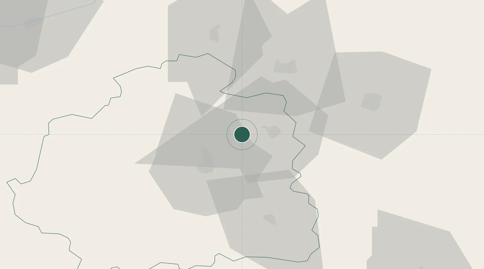
Location
Nearby Logistics Neighbours
Cities
- 1Lizeray5 km
- 2Neuvy-Pailloux8 km
- 3Sainte-Lizaigne13 km
- 4Guilly17 km
- 5Lazenay20 km
Ports
- 1Tonnay Charente240 km
- 2Rochefort244 km
- 3La Rochelle247 km
- 4La Pallice251 km
- 5Nantes262 km
Airports
- 1Châteauroux Déols airport15 km
- 2Bourges airport40 km
- 3Avord (BA 702) Air Base59 km
- 4Montluçon-Guéret Airport89 km
- 5Nevers-Fourchambault Airport95 km
Trade Zones
- 1ZFU Bourges38 km
- 2ZFU Blois83 km
- 3ZFU Orléans103 km
- 4ZFU Clermont-Ferrand159 km
- 5ZFU Sens174 km
DatabookThe Record of Consolidated Knowledge
France beyond logistics?