UN/LOCODE hub · France
FRRVH

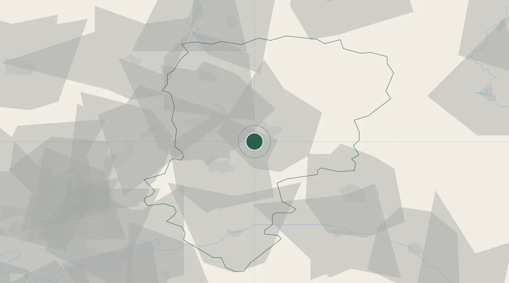
Royaucourt-et-Chailvet

49.5167°, 3.5333°
181
Population
2
Transport functions

Transport Functions

Rail
Road
UN/LOCODE

Hub Profile

Place type
Populated place
GeoNames
Region
Hauts-de-France
GeoNames
Population
181
GeoNames
Time zone
Europe/Paris
GeoNames
Elevation
97 m
GeoNames

Location

Location of FRRVH
Natural Earth 10m (public domain) · Hauts-de-France · FRRVH · 49.52, 3.53GoogleOSMYandex

Nearby Logistics Neighbours

Cities
  1. 1Laon9 km
  2. 2Pont-Arcy16 km
  3. 3Ciry-Salsogne20 km
  4. 4Cuffies20 km
  5. 5Épagny21 km
Nearest neighbours — logibook spatial index (haversine) over the source coordinates
Ports
  1. 1Saint-Valery-Sur-Somme156 km
  2. 2Bruxelles161 km
  3. 3Le Treport167 km
  4. 4Ghent173 km
  5. 5Port Of Rouen178 km
Nearest neighbours — logibook spatial index (haversine) over the source coordinates
Airports
  1. 1Péronne Saint-Quentin Airfield53 km
  2. 2Creil Air Base79 km
  3. 3Charleville-Mézières Ardennes-Etienne Riché Airfield86 km
  4. 4Valenciennes-Denain Airfield90 km
  5. 5Charles de Gaulle International Airport91 km
Nearest neighbours — logibook spatial index (haversine) over the source coordinates
Trade Zones
  1. 1ZFU Presles, Chevreux23 km
  2. 2ZFU Le Vermandois Vermand, Fayet, Artois, Champagne44 km
  3. 3ZFU Reims44 km
  4. 4ZFU Meaux78 km
  5. 5ZFU Creil et Montataire86 km
Nearest neighbours — logibook spatial index (haversine) over the source coordinates
DatabookThe Record of Consolidated Knowledge
France beyond logistics?
Browse databook

All Sources

LocationsUN/LOCODE
UN/LOCODE — free
LocationsGeoNames
CC BY 4.0
Portsthe NGA World Port Index
Public domain (US gov)
AirportsOurAirports
Public domain
Trade Zonesthe World Bank SEZ database
CC BY 4.0
Trade ZonesOpen Zone Map
CC BY
← France locations