Transport Functions
Port
Road
Hub Profile
Place type
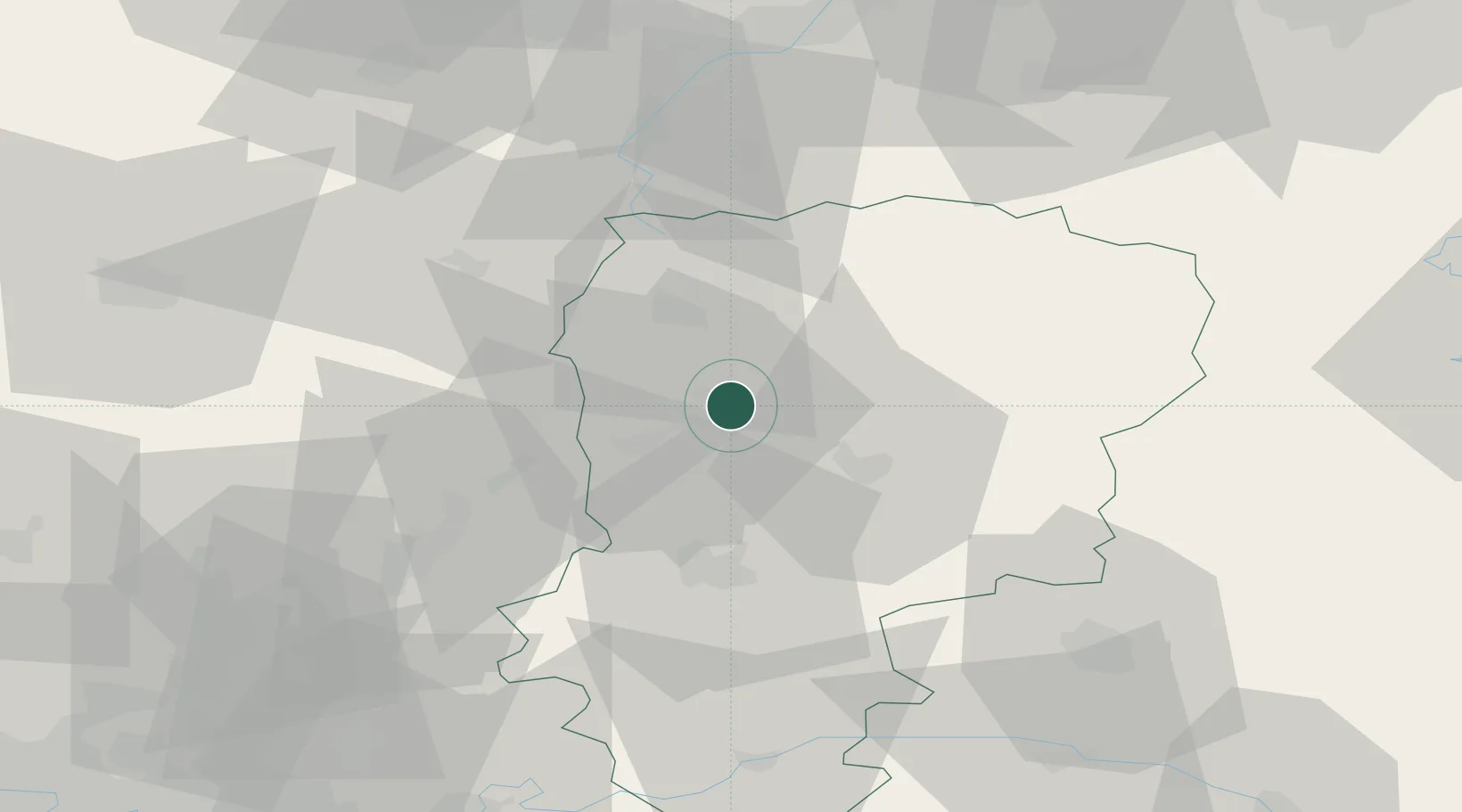
Populated place
Region
Hauts-de-France
Population
549
Time zone
Europe/Paris
Elevation
55 m
Location
Nearby Logistics Neighbours
Cities
- 1Tergnier8 km
- 2Ribemont12 km
- 3Essigny-le-Grand13 km
- 4Chauny14 km
- 5Regny15 km
Ports
- 1Saint-Valery-Sur-Somme138 km
- 2Bruxelles148 km
- 3Le Treport151 km
- 4Ghent156 km
- 5Nieuwpoort167 km
Airports
Trade Zones
DatabookThe Record of Consolidated Knowledge
France beyond logistics?