Transport Functions
Port
Road
Hub Profile
Place type
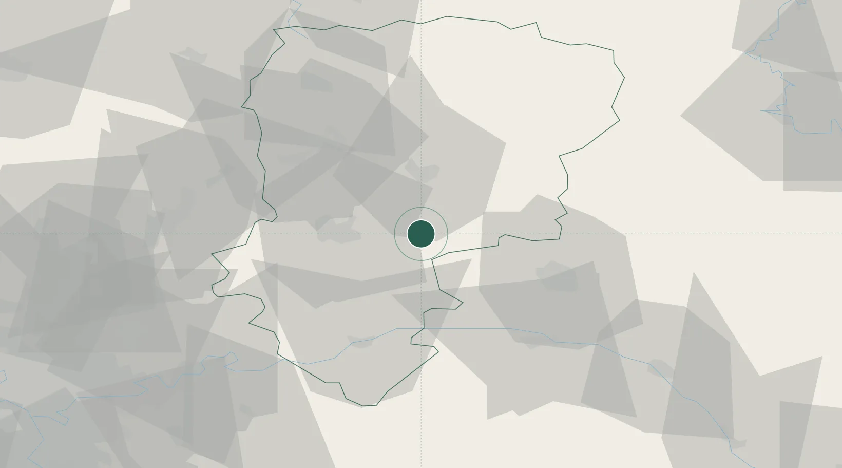
Populated place
Region
Hauts-de-France
Population
110
Time zone
Europe/Paris
Elevation
49 m
Location
Nearby Logistics Neighbours
Cities
- 1Cerseuil10 km
- 2Fismes10 km
- 3Ciry-Salsogne13 km
- 4Pontavert15 km
- 5Royaucourt-et-Chailvet16 km
Ports
- 1Saint-Valery-Sur-Somme169 km
- 2Bruxelles173 km
- 3Le Treport179 km
- 4Port Of Rouen185 km
- 5Ghent187 km
Airports
Trade Zones
- 1ZFU Presles, Chevreux23 km
- 2ZFU Reims30 km
- 3ZFU Le Vermandois Vermand, Fayet, Artois, Champagne59 km
- 4ZFU Meaux71 km
- 5ZFU Creil et Montataire88 km
DatabookThe Record of Consolidated Knowledge
France beyond logistics?