Transport Functions
Rail
Hub Profile
Place type
District seat
Region
Grand Est
Population
8,638
Time zone
Europe/Paris
Elevation
472 m
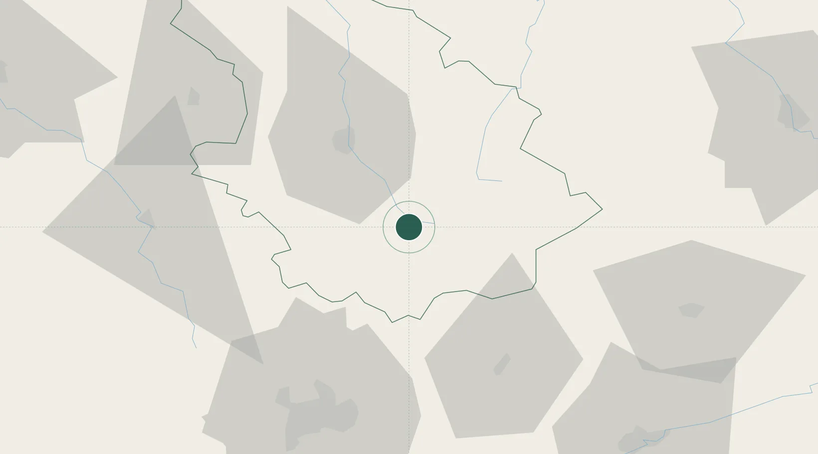
Location
Nearby Logistics Neighbours
Cities
- 1Chalindrey11 km
- 2Villegusien-le-Lac15 km
- 3Lavernoy18 km
- 4Louvières19 km
- 5Giey-sur-Aujon20 km
Ports
- 1Bruxelles341 km
- 2Port Of Rouen359 km
- 3Saint-Valery-Sur-Somme374 km
- 4Ghent374 km
- 5Antwerpen379 km
Airports
Trade Zones
DatabookThe Record of Consolidated Knowledge
France beyond logistics?