Transport Functions
Port
Rail
Road
Hub Profile
Place type
Populated place
Region
Grand Est
Population
655
Time zone
Europe/Paris
Elevation
290 m
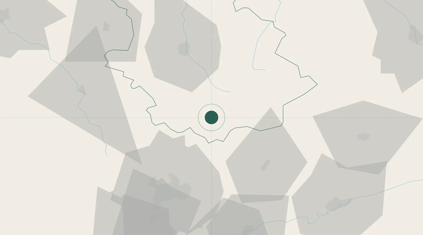
Location
Nearby Logistics Neighbours
Cities
- 1Chalindrey12 km
- 2Occey13 km
- 3Langres15 km
- 4Giey-sur-Aujon25 km
- 5Is-sur-Tille28 km
Ports
- 1Bruxelles355 km
- 2Port Of Rouen365 km
- 3Saint-Valery-Sur-Somme383 km
- 4Le Treport387 km
- 5Ghent388 km
Airports
Trade Zones
- 1ZFU Chenôve55 km
- 2ZFU Besancon77 km
- 3ZFU Saint-Dizier105 km
- 4ZFU Belfort113 km
- 5ZFU La Chapelle Saint-Luc, Les Noës-près-Troyes, Troyes, Sainte-Savine114 km
DatabookThe Record of Consolidated Knowledge
France beyond logistics?