Transport Functions
Multimodal
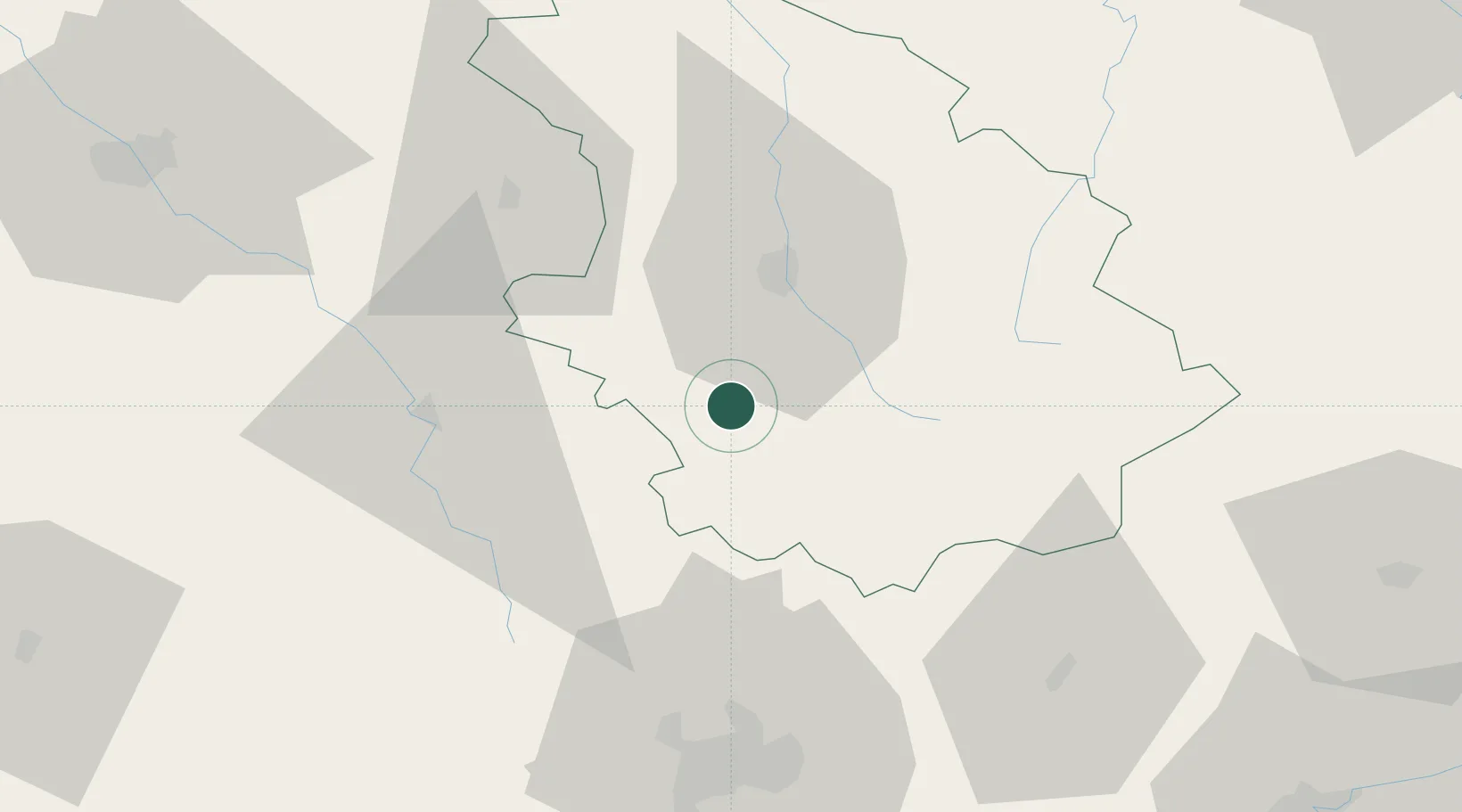
Hub Profile
Place type
Populated place
Region
Grand Est
Population
156
Time zone
Europe/Paris
Elevation
299 m
Location
Nearby Logistics Neighbours
Cities
- 1Arc-en-Barrois6 km
- 2Langres20 km
- 3Louvières22 km
- 4Chaumont25 km
- 5Villegusien-le-Lac25 km
Ports
- 1Bruxelles334 km
- 2Port Of Rouen341 km
- 3Saint-Valery-Sur-Somme357 km
- 4Le Treport362 km
- 5Ghent365 km
Airports
Trade Zones
DatabookThe Record of Consolidated Knowledge
France beyond logistics?