Transport Functions
Rail
Road
Hub Profile
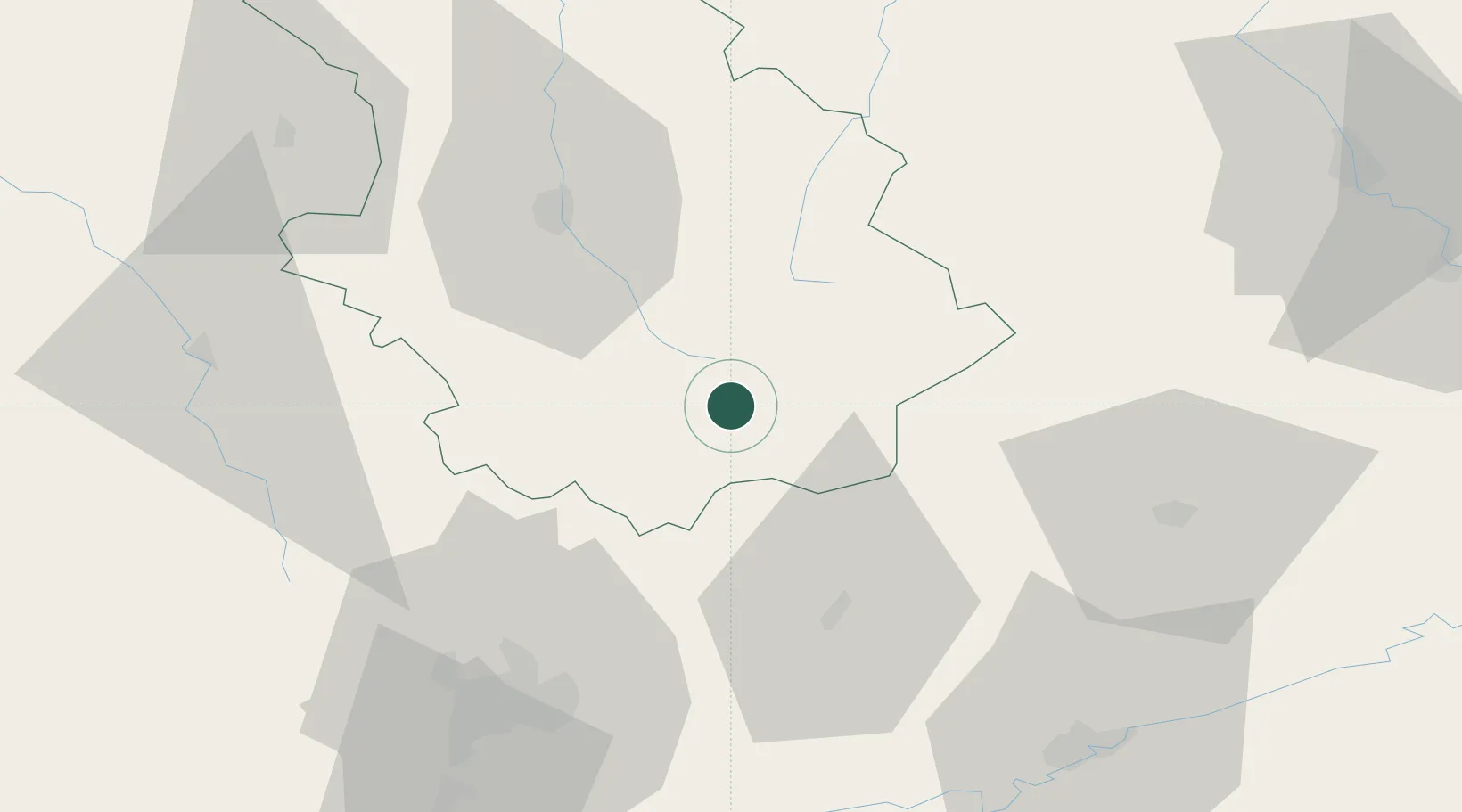
Place type
Populated place
Region
Grand Est
Population
2,654
Time zone
Europe/Paris
Elevation
344 m
Location
Nearby Logistics Neighbours
Cities
- 1Langres11 km
- 2Villegusien-le-Lac12 km
- 3Lavernoy16 km
- 4Coiffy-le-Haut23 km
- 5Occey24 km
Ports
- 1Bruxelles350 km
- 2Port Of Rouen370 km
- 3Ghent383 km
- 4Saint-Valery-Sur-Somme384 km
- 5Antwerpen387 km
Airports
Trade Zones
- 1ZFU Chenôve66 km
- 2ZFU Besancon76 km
- 3ZFU Saint-Dizier102 km
- 4ZFU Belfort104 km
- 5ZFU Montbéliard107 km
DatabookThe Record of Consolidated Knowledge
France beyond logistics?