UN/LOCODE hub · France
FRJPS
La Chapelle-Janson
48.5167°, -2.2000°
1,268
Population
1
Transport functions
Transport Functions
Multimodal
Hub Profile
Place type
Populated place
Region
Brittany
Population
1,268
Time zone
Europe/Paris
Elevation
125 m
Location
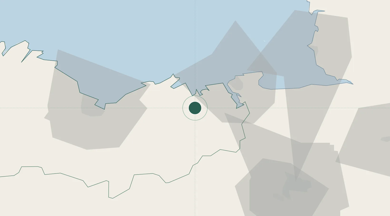
Nearby Logistics Neighbours
Cities
- 1Plancoët4 km
- 2le Guildo6 km
- 3Bourseul6 km
- 4Saint-Cast-le-Guildo10 km
- 5Quévert10 km
Ports
- 1Saint-Malo20 km
- 2Le Legue41 km
- 3Granville56 km
- 4Paimpol69 km
- 5Lezardrieux73 km
Airports
- 1Dinard Pleurtuit Saint-Malo airport12 km
- 2Saint-Brieuc-Armor Airport48 km
- 3Rennes-Saint-Jacques Airport61 km
- 4Granville Airport62 km
- 5Jersey Airport77 km
Trade Zones
- 1ZFU Cherbourg-Octeville131 km
- 2ZFU Saint-Nazaire138 km
- 3ZFU Nantes et Saint-Herblain148 km
- 4ZFU La Guérinière, La Grâce de Dieu151 km
- 5ZFU Hérouville-Saint-Clair155 km
DatabookThe Record of Consolidated Knowledge
France beyond logistics?