UN/LOCODE hub · France
FRDCG
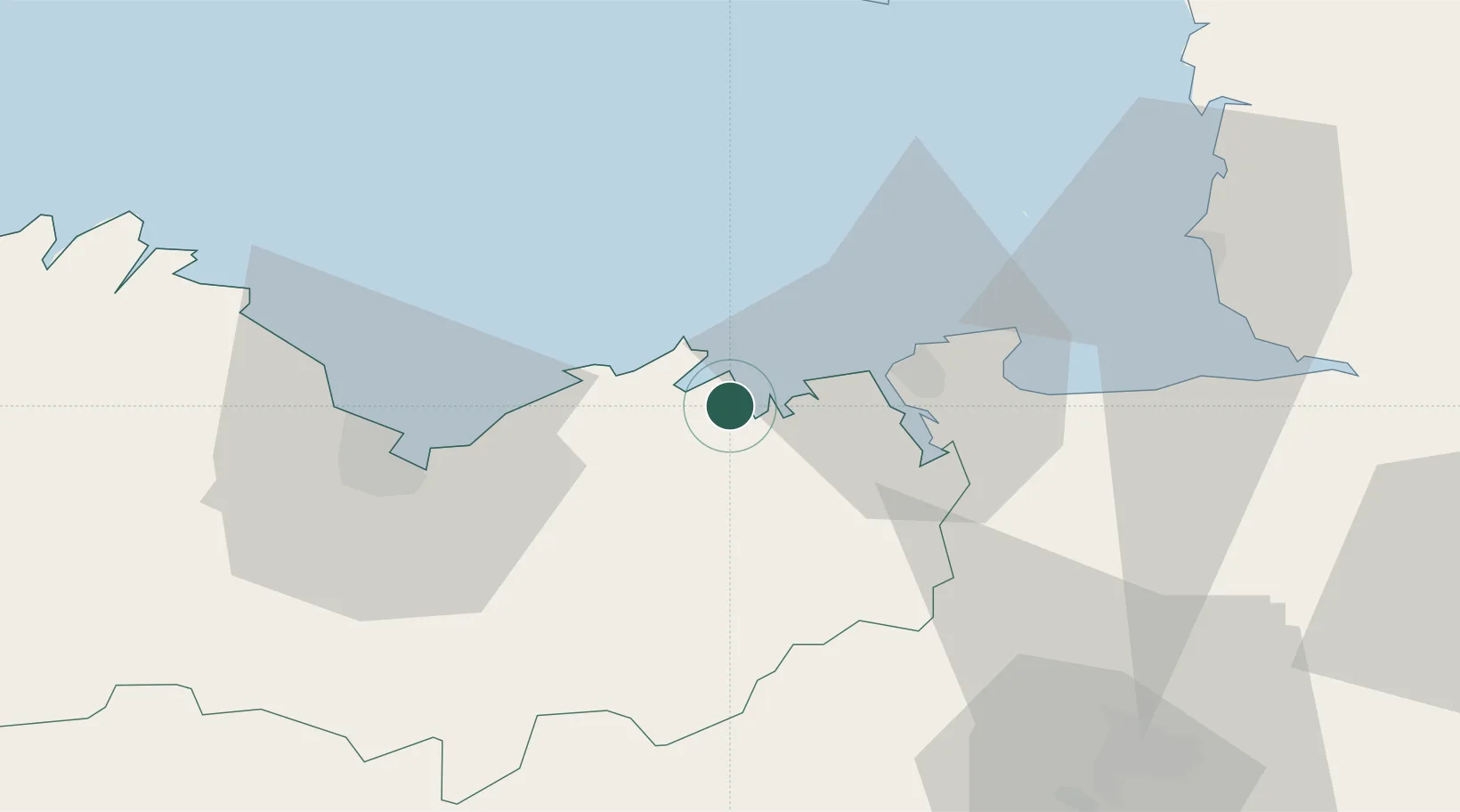
Saint-Cast-le-Guildo
48.6000°, -2.2500°
3,363
Population
2
Transport functions
Transport Functions
Port
Road
Hub Profile
Place type
Populated place
Region
Brittany
Population
3,363
Time zone
Europe/Paris
Elevation
27 m
Location
Nearby Logistics Neighbours
Cities
- 1Matignon4 km
- 2le Guildo4 km
- 3Plancoët7 km
- 4La Chapelle-Janson10 km
- 5Bourseul13 km
Ports
- 1Saint-Malo18 km
- 2Le Legue38 km
- 3Granville54 km
- 4Paimpol62 km
- 5Saint Helier Harbour66 km
Airports
- 1Dinard Pleurtuit Saint-Malo airport13 km
- 2Saint-Brieuc-Armor Airport45 km
- 3Granville Airport59 km
- 4Jersey Airport68 km
- 5Rennes-Saint-Jacques Airport70 km
Trade Zones
- 1ZFU Cherbourg-Octeville123 km
- 2ZFU Saint-Nazaire147 km
- 3ZFU La Guérinière, La Grâce de Dieu150 km
- 4ZFU Hérouville-Saint-Clair154 km
- 5ZFU Nantes et Saint-Herblain158 km
DatabookThe Record of Consolidated Knowledge
France beyond logistics?