Transport Functions
Rail
Road
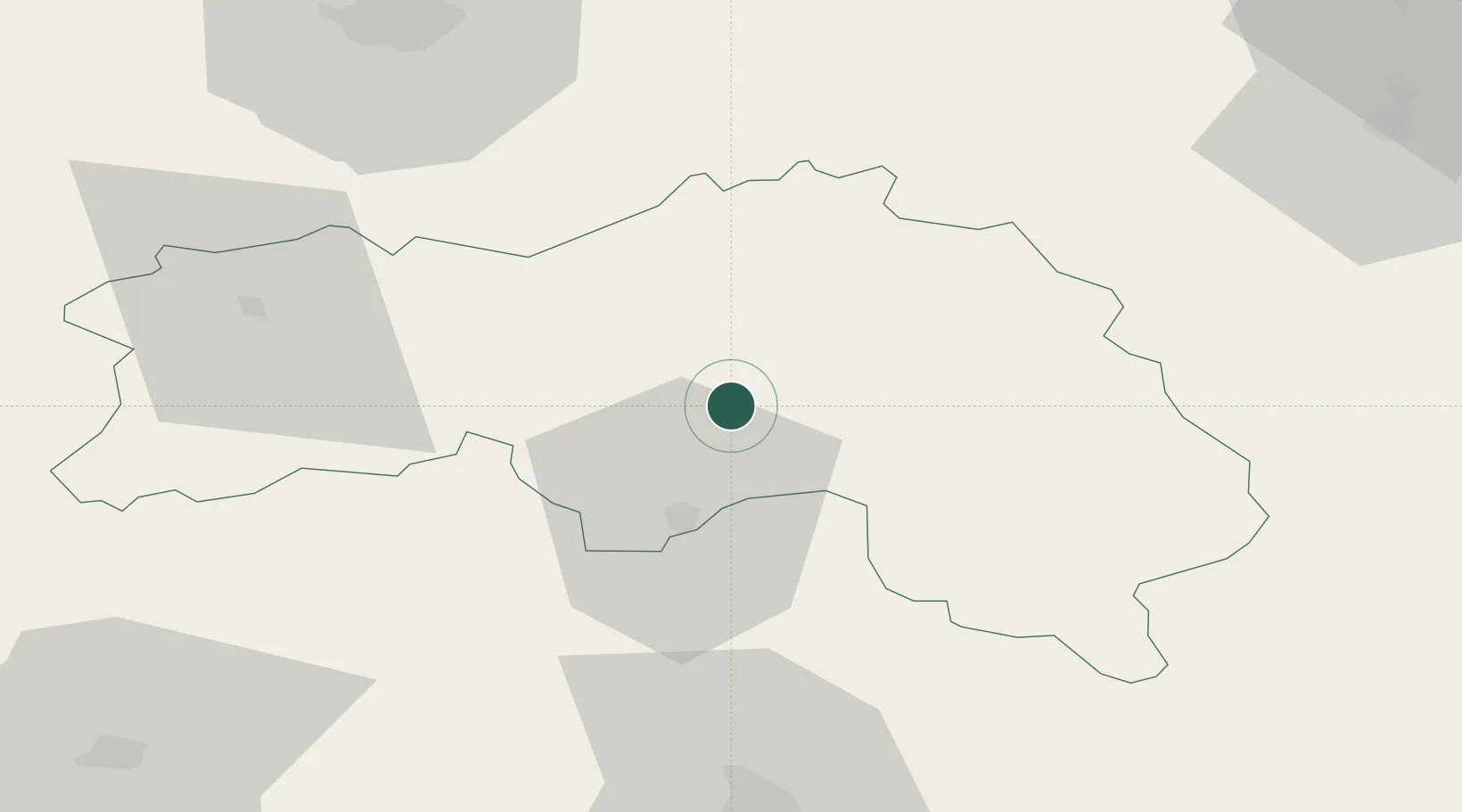
Hub Profile
Place type
Populated place
Region
Normandy
Population
4,985
Time zone
Europe/Paris
Elevation
186 m
Location
Nearby Logistics Neighbours
Cities
- 1Valframbert15 km
- 2Juvigny-sur-Orne16 km
- 3La Fresnaye-sur-Chédouet18 km
- 4Lonrai18 km
- 5Alençon20 km
Ports
- 1Port De Caen75 km
- 2Ouistreham82 km
- 3Deauville86 km
- 4Honfleur91 km
- 5Port Of Le Havre98 km
Airports
Trade Zones
- 1ZFU Alençon20 km
- 2ZFU Le Mans69 km
- 3ZFU Hérouville-Saint-Clair77 km
- 4ZFU La Guérinière, La Grâce de Dieu77 km
- 5ZFU Évreux86 km
DatabookThe Record of Consolidated Knowledge
France beyond logistics?