Transport Functions
Multimodal
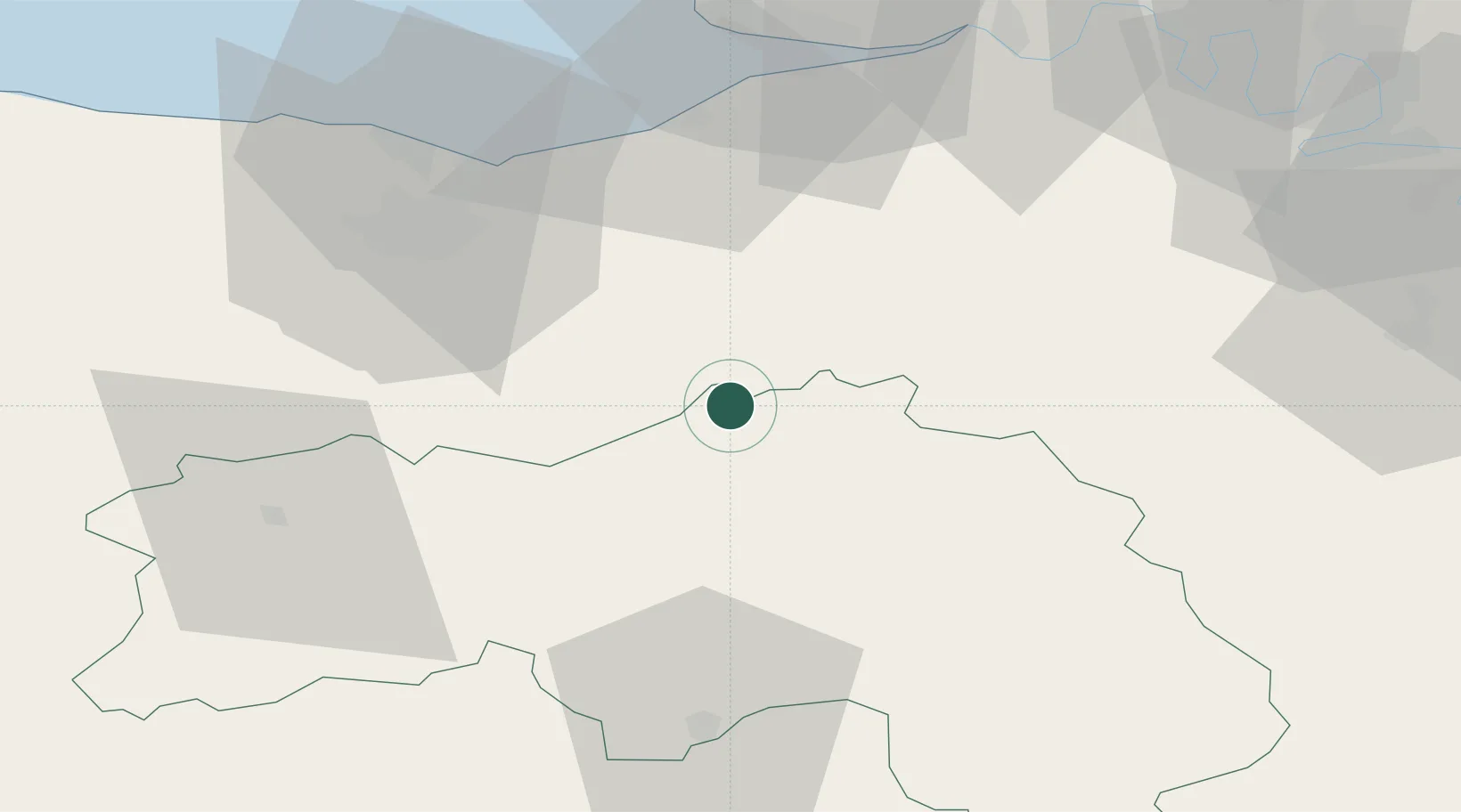
Hub Profile
Place type
Populated place
Region
Normandy
Population
262
Time zone
Europe/Paris
Elevation
209 m
Location
Nearby Logistics Neighbours
Cities
- 1Vimoutiers5 km
- 2Saint-Germain-de-Livet20 km
- 3Juvigny-sur-Orne23 km
- 4Vieux-Fumé24 km
- 5Mézidon-Canon24 km
Ports
- 1Port De Caen46 km
- 2Ouistreham49 km
- 3Deauville50 km
- 4Honfleur56 km
- 5Port Of Le Havre63 km
Airports
Trade Zones
- 1ZFU Hérouville-Saint-Clair48 km
- 2ZFU La Guérinière, La Grâce de Dieu49 km
- 3ZFU Alençon54 km
- 4ZFU Le Havre65 km
- 5ZFU Évreux75 km
DatabookThe Record of Consolidated Knowledge
France beyond logistics?