Transport Functions
Multimodal
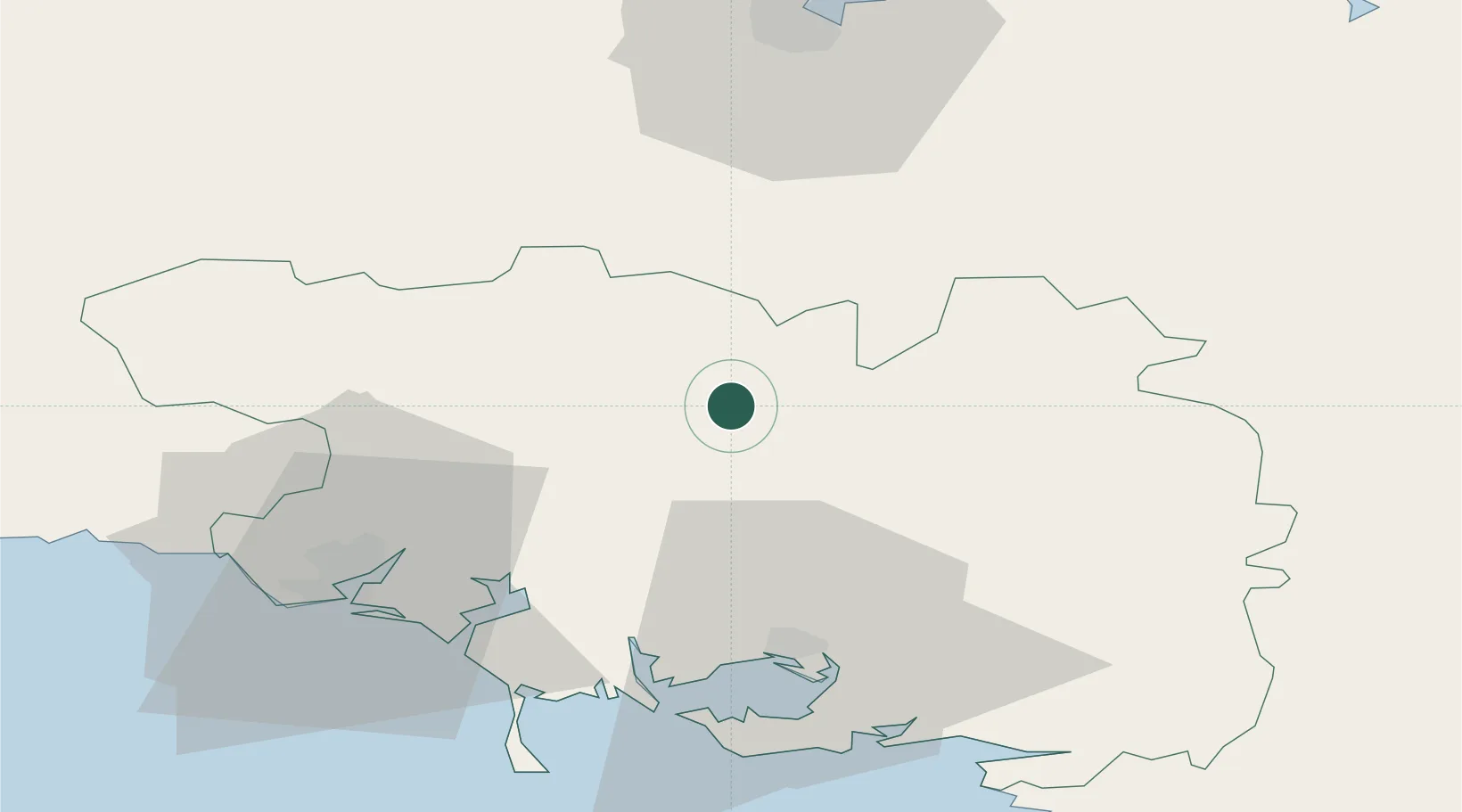
Hub Profile
Place type
Populated place
Region
Brittany
Population
1,625
Time zone
Europe/Paris
Elevation
122 m
Location
Nearby Logistics Neighbours
Cities
- 1Le Sourn13 km
- 2Bréhan15 km
- 3Guénin15 km
- 4Saint-Gonnery15 km
- 5Baud19 km
Ports
- 1Lorient47 km
- 2Le Legue62 km
- 3Concarneau82 km
- 4Pontrieux84 km
- 5Paimpol90 km
Airports
Trade Zones
- 1ZFU Saint-Nazaire89 km
- 2ZFU Nantes et Saint-Herblain120 km
- 3ZFU Angers176 km
- 4ZFU Cherbourg-Octeville203 km
- 5ZFU Le Mans220 km
DatabookThe Record of Consolidated Knowledge
France beyond logistics?