Transport Functions
Port
Multimodal
Hub Profile
Place type
Populated place
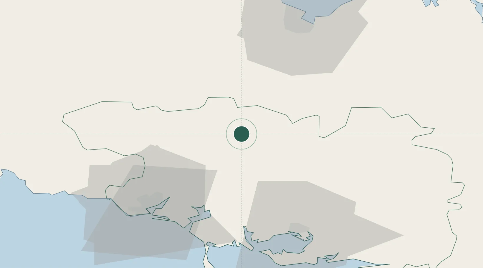
Region
Brittany
Population
2,008
Time zone
Europe/Paris
Elevation
103 m
Location
Nearby Logistics Neighbours
Cities
- 1Naizin13 km
- 2Saint-Gonnery14 km
- 3Guénin17 km
- 4Baud21 km
- 5Camors22 km
Ports
- 1Lorient43 km
- 2Le Legue56 km
- 3Concarneau72 km
- 4Pontrieux74 km
- 5Paimpol82 km
Airports
Trade Zones
- 1ZFU Saint-Nazaire101 km
- 2ZFU Nantes et Saint-Herblain133 km
- 3ZFU Angers189 km
- 4ZFU Cherbourg-Octeville201 km
- 5ZFU La Guérinière, La Grâce de Dieu228 km
DatabookThe Record of Consolidated Knowledge
France beyond logistics?