Transport Functions
Port
Rail
Road
Hub Profile
Place type
Populated place
Region
Brittany
Time zone
Europe/Paris
Elevation
102 m
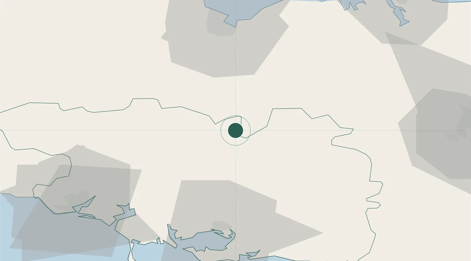
Location
Nearby Logistics Neighbours
Cities
- 1Saint-Étienne-du-Gué-de-l'Isle5 km
- 2La Chèze8 km
- 3Saint-Gonnery11 km
- 4Naizin15 km
- 5Trévé19 km
Ports
- 1Le Legue52 km
- 2Lorient61 km
- 3Pontrieux79 km
- 4Saint-Malo81 km
- 5Paimpol84 km
Airports
Trade Zones
- 1ZFU Saint-Nazaire93 km
- 2ZFU Nantes et Saint-Herblain119 km
- 3ZFU Angers169 km
- 4ZFU Cherbourg-Octeville190 km
- 5ZFU La Guérinière, La Grâce de Dieu208 km
DatabookThe Record of Consolidated Knowledge
France beyond logistics?