Transport Functions
Port
Multimodal
Hub Profile
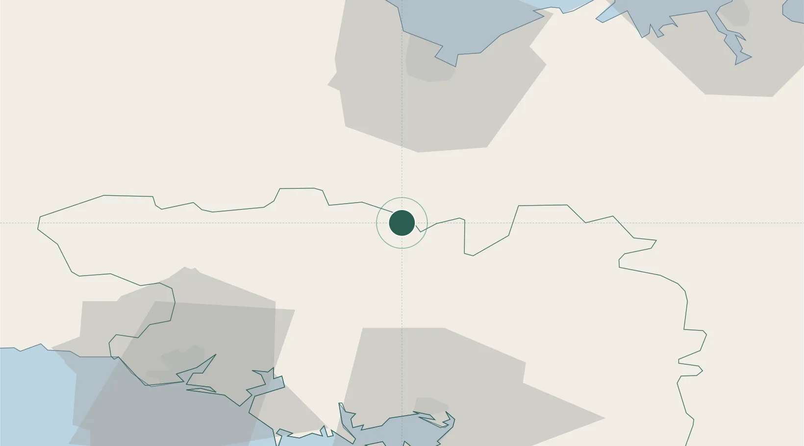
Place type
Populated place
Region
Brittany
Population
1,013
Time zone
Europe/Paris
Elevation
126 m
Location
Nearby Logistics Neighbours
Cities
- 1Trévé11 km
- 2Bréhan11 km
- 3La Chèze13 km
- 4Saint-Étienne-du-Gué-de-l'Isle14 km
- 5Le Sourn14 km
Ports
- 1Le Legue47 km
- 2Lorient57 km
- 3Pontrieux70 km
- 4Paimpol76 km
- 5Lezardrieux78 km
Airports
Trade Zones
- 1ZFU Saint-Nazaire102 km
- 2ZFU Nantes et Saint-Herblain130 km
- 3ZFU Angers180 km
- 4ZFU Cherbourg-Octeville189 km
- 5ZFU La Guérinière, La Grâce de Dieu213 km
DatabookThe Record of Consolidated Knowledge
France beyond logistics?