Transport Functions
Rail
Road
Hub Profile
Place type
Populated place
Region
Brittany
Population
1,572
Time zone
Europe/Paris
Elevation
52 m
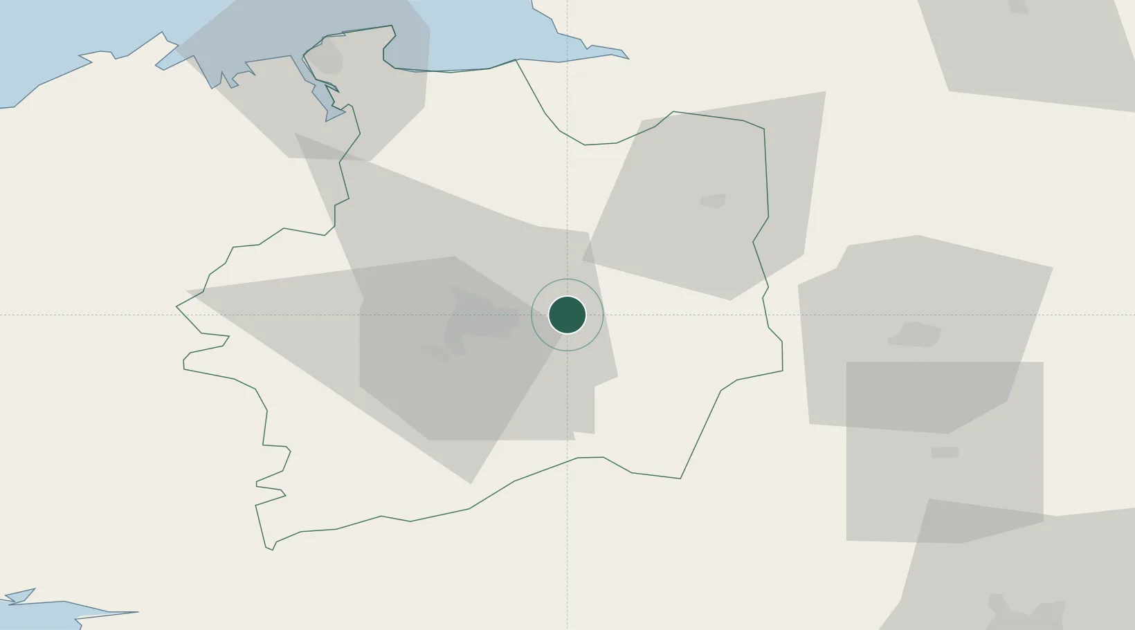
Location
Nearby Logistics Neighbours
Ports
- 1Saint-Malo71 km
- 2Granville80 km
- 3Donges101 km
- 4Nantes102 km
- 5Montoir103 km
Airports
- 1Rennes-Saint-Jacques Airport19 km
- 2Laval-Entrammes Airport56 km
- 3Dinard Pleurtuit Saint-Malo airport69 km
- 4Granville Airport85 km
- 5Vannes-Meucon Airport102 km
Trade Zones
- 1ZFU Angers97 km
- 2ZFU Nantes et Saint-Herblain101 km
- 3ZFU Saint-Nazaire111 km
- 4ZFU Le Mans121 km
- 5ZFU Alençon121 km
DatabookThe Record of Consolidated Knowledge
France beyond logistics?