Transport Functions
Rail
Road
Multimodal
Hub Profile
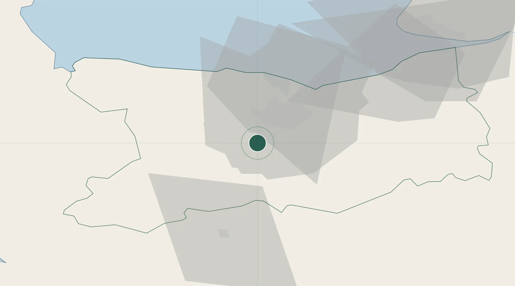
Place type
Populated place
Region
Normandy
Population
730
Time zone
Europe/Paris
Elevation
54 m
Location
Nearby Logistics Neighbours
Cities
- 1Ifs8 km
- 2Mouen8 km
- 3Cormelles-le-Royal10 km
- 4Garcelles-Secqueville11 km
- 5Caen12 km
Ports
- 1Port De Caen13 km
- 2Ouistreham26 km
- 3Deauville49 km
- 4Port Of Le Havre60 km
- 5Honfleur60 km
Airports
- 1Caen Carpiquet airport11 km
- 2Deauville Normandie airport53 km
- 3Le Havre-Octeville Airport63 km
- 4Granville Airport86 km
- 5Cherbourg Manche airport98 km
Trade Zones
- 1ZFU La Guérinière, La Grâce de Dieu11 km
- 2ZFU Hérouville-Saint-Clair15 km
- 3ZFU Le Havre62 km
- 4ZFU Alençon82 km
- 5ZFU Cherbourg-Octeville109 km
DatabookThe Record of Consolidated Knowledge
France beyond logistics?