UN/LOCODE hub · France
FRSJY
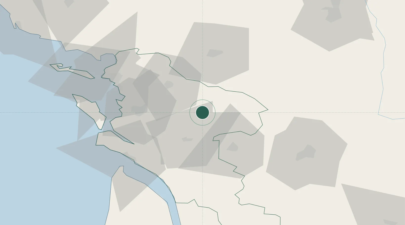
Saint-Jean-d'Angély
45.9299°, -0.5286°
7,066
Population
2
Transport functions
Transport Functions
Rail
Road
Hub Profile
Place type
District seat
Region
Nouvelle-Aquitaine
Population
7,066
Time zone
Europe/Paris
Elevation
26 m
Logistics facilities
2
Location
Nearby Logistics Neighbours
Cities
- 1Ternant4 km
- 2La Vergne5 km
- 3Bercloux12 km
- 4Aumagne12 km
- 5Saint-Savinien13 km
Ports
- 1Tonnay Charente29 km
- 2Rochefort33 km
- 3La Rochelle54 km
- 4Le Verdon59 km
- 5La Pallice59 km
Airports
Trade Zones
- 1ZFU La Rochelle59 km
- 2Port de Bordeaux113 km
- 3ZFU Hauts de Garonne122 km
- 4ZFU Nantes et Saint-Herblain170 km
- 5ZFU Angers173 km
DatabookThe Record of Consolidated Knowledge
France beyond logistics?