UN/LOCODE hub · France
FRTQT

Ternant

45.9500°, -0.5667°
256
Population
1
Transport functions

Transport Functions

Multimodal
UN/LOCODE

Hub Profile

Place type
Populated place
GeoNames
Region
Nouvelle-Aquitaine
GeoNames
Population
256
GeoNames
Time zone
Europe/Paris
GeoNames
Elevation
17 m
GeoNames

Location

Location of FRTQT
Natural Earth 10m (public domain) · Nouvelle-Aquitaine · FRTQT · 45.95, -0.57GoogleOSMYandex

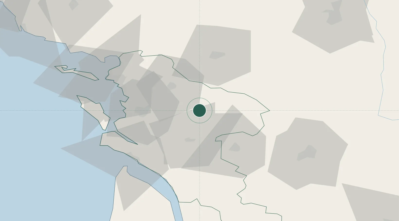
Nearby Logistics Neighbours

Cities
  1. 1La Vergne2 km
  2. 2Saint-Jean-d'Angély4 km
  3. 3Saint-Savinien12 km
  4. 4Bercloux15 km
  5. 5Saint-Vaize16 km
Nearest neighbours — logibook spatial index (haversine) over the source coordinates
Ports
  1. 1Tonnay Charente26 km
  2. 2Rochefort30 km
  3. 3La Rochelle50 km
  4. 4La Pallice56 km
  5. 5Le Verdon58 km
Nearest neighbours — logibook spatial index (haversine) over the source coordinates
Airports
  1. 1Rochefort-Saint-Agnant (BA 721) Airport33 km
  2. 2Cognac-Châteaubernard (BA 709) Air Base38 km
  3. 3Niort - Marais Poitevin Airport43 km
  4. 4Royan-Médis Airport48 km
  5. 5La Rochelle Île de Ré Airport55 km
Nearest neighbours — logibook spatial index (haversine) over the source coordinates
Trade Zones
  1. 1ZFU La Rochelle55 km
  2. 2Port de Bordeaux116 km
  3. 3ZFU Hauts de Garonne125 km
  4. 4ZFU Nantes et Saint-Herblain166 km
  5. 5ZFU Angers170 km
Nearest neighbours — logibook spatial index (haversine) over the source coordinates
DatabookThe Record of Consolidated Knowledge
France beyond logistics?
Browse databook

All Sources

LocationsUN/LOCODE
UN/LOCODE — free
LocationsGeoNames
CC BY 4.0
Portsthe NGA World Port Index
Public domain (US gov)
AirportsOurAirports
Public domain
Trade Zonesthe World Bank SEZ database
CC BY 4.0
Trade ZonesOpen Zone Map
CC BY
← France locations