Transport Functions
Multimodal
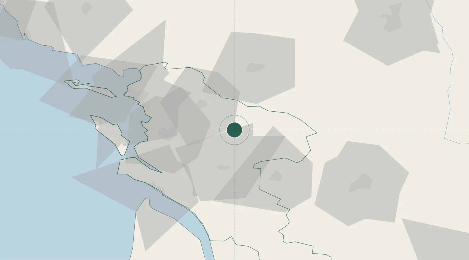
Hub Profile
Place type
Populated place
Region
Nouvelle-Aquitaine
Population
647
Time zone
Europe/Paris
Elevation
13 m
Location
Nearby Logistics Neighbours
Cities
- 1Ternant2 km
- 2Saint-Jean-d'Angély5 km
- 3Saint-Savinien13 km
- 4Bercloux17 km
- 5Aumagne17 km
Ports
- 1Tonnay Charente26 km
- 2Rochefort30 km
- 3La Rochelle49 km
- 4La Pallice55 km
- 5Le Verdon60 km
Airports
Trade Zones
- 1ZFU La Rochelle54 km
- 2Port de Bordeaux118 km
- 3ZFU Hauts de Garonne127 km
- 4ZFU Nantes et Saint-Herblain165 km
- 5ZFU Angers169 km
DatabookThe Record of Consolidated Knowledge
France beyond logistics?