Transport Functions
Rail
Road
Hub Profile
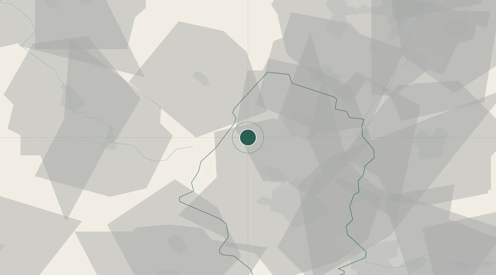
Place type
Populated place
Region
Grand Est
Population
5,162
Time zone
Europe/Paris
Elevation
380 m
Location
Nearby Logistics Neighbours
Cities
- 1Metzeral6 km
- 2Osenbach10 km
- 3Vgtlinshoffen12 km
- 4Niedermorschwihr13 km
- 5Katzenthal13 km
Airports
Trade Zones
- 1ZFU Mulhouse37 km
- 2ZFU Belfort51 km
- 3ZFU Montbéliard66 km
- 4ZFU Neuhof72 km
- 5ZFU Hautepierre73 km
DatabookThe Record of Consolidated Knowledge
France beyond logistics?