Transport Functions
Road
Multimodal
Hub Profile
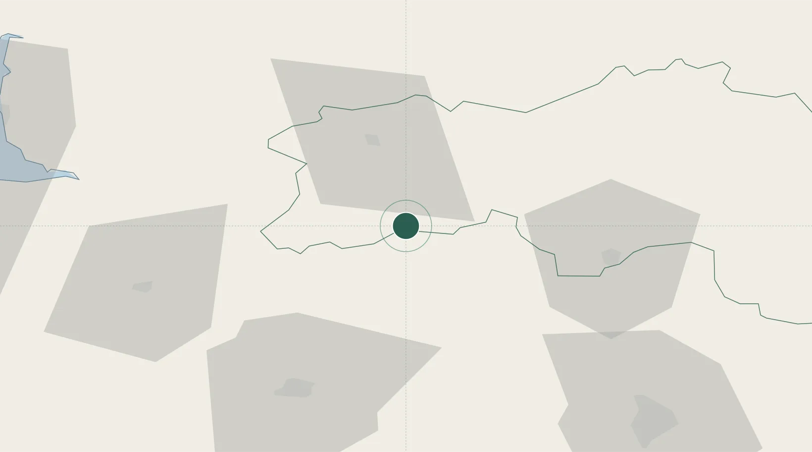
Place type
Populated place
Region
Normandy
Time zone
Europe/Paris
Elevation
136 m
Location
Nearby Logistics Neighbours
Cities
- 1Torchamp18 km
- 2Joué-du-Bois19 km
- 3Saint-Georges-de-Rouelley22 km
- 4Messei-Saint-Gervais23 km
- 5Gorron28 km
Ports
- 1Port De Caen75 km
- 2Ouistreham87 km
- 3Granville90 km
- 4Deauville103 km
- 5Honfleur112 km
Airports
- 1Laval-Entrammes Airport58 km
- 2Caen Carpiquet airport73 km
- 3Le Mans-Arnage Airport80 km
- 4Granville Airport90 km
- 5Deauville Normandie airport105 km
Trade Zones
- 1ZFU Alençon41 km
- 2ZFU Le Mans74 km
- 3ZFU La Guérinière, La Grâce de Dieu74 km
- 4ZFU Hérouville-Saint-Clair77 km
- 5ZFU Angers116 km
DatabookThe Record of Consolidated Knowledge
France beyond logistics?