UN/LOCODE hub · France
FRHPV
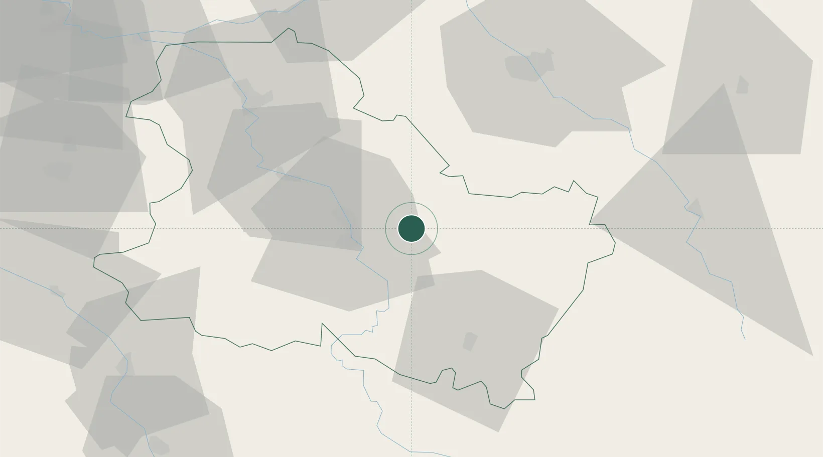
La Chapelle-Vaupelteigne
47.8333°, 3.7500°
94
Population
2
Transport functions
Transport Functions
Road
Multimodal
Hub Profile
Place type
Populated place
Region
Bourgogne
Population
94
Time zone
Europe/Paris
Elevation
123 m
Location
Nearby Logistics Neighbours
Cities
- 1Lignorelles3 km
- 2Beine3 km
- 3Bleigny-le-Carreau5 km
- 4Fontenay-près-Chablis5 km
- 5Montigny-la-Resle6 km
Ports
- 1Port Of Rouen267 km
- 2Le Treport303 km
- 3Saint-Valery-Sur-Somme304 km
- 4Dieppe304 km
- 5Honfleur314 km
Airports
- 1Auxerre Branches airport19 km
- 2Troyes-Barberey Airport58 km
- 3Nevers-Fourchambault Airport104 km
- 4Chalons Vatry airport110 km
- 5Melun-Villaroche Airfield117 km
Trade Zones
- 1ZFU Sens54 km
- 2ZFU La Chapelle Saint-Luc, Les Noës-près-Troyes, Troyes, Sainte-Savine56 km
- 3ZFU Montereau-Fault-Yonne86 km
- 4ZFU Chenôve110 km
- 5ZFU Melun114 km
DatabookThe Record of Consolidated Knowledge
France beyond logistics?