UN/LOCODE hub · France
FRXBI
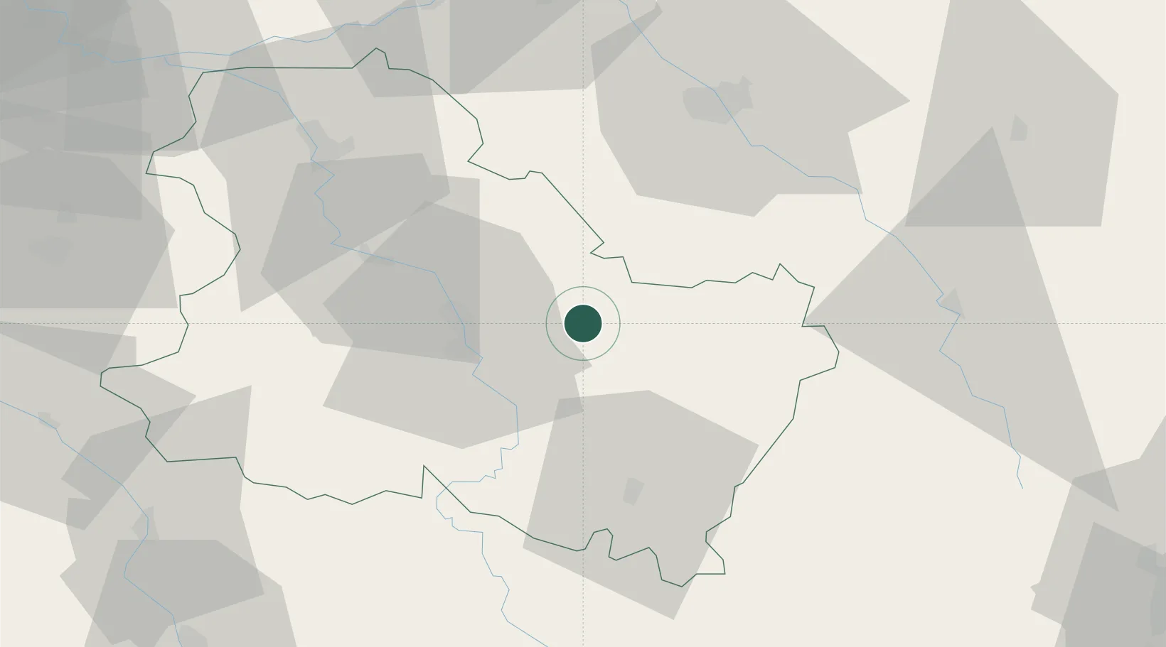
Fontenay-près-Chablis
47.8500°, 3.8167°
145
Population
1
Transport functions
Transport Functions
Multimodal
Hub Profile
Place type
Populated place
Region
Bourgogne
Population
145
Time zone
Europe/Paris
Elevation
176 m
Location
Nearby Logistics Neighbours
Cities
- 1Collan5 km
- 2La Chapelle-Vaupelteigne5 km
- 3Chichée6 km
- 4Lignorelles8 km
- 5Serrigny8 km
Ports
- 1Port Of Rouen269 km
- 2Le Treport305 km
- 3Saint-Valery-Sur-Somme305 km
- 4Dieppe306 km
- 5Honfleur317 km
Airports
- 1Auxerre Branches airport24 km
- 2Troyes-Barberey Airport55 km
- 3Chalons Vatry airport107 km
- 4Nevers-Fourchambault Airport108 km
- 5Dijon Longvic airport115 km
Trade Zones
- 1ZFU La Chapelle Saint-Luc, Les Noës-près-Troyes, Troyes, Sainte-Savine53 km
- 2ZFU Sens56 km
- 3ZFU Montereau-Fault-Yonne88 km
- 4ZFU Chenôve107 km
- 5ZFU Melun116 km
DatabookThe Record of Consolidated Knowledge
France beyond logistics?