Transport Functions
Multimodal
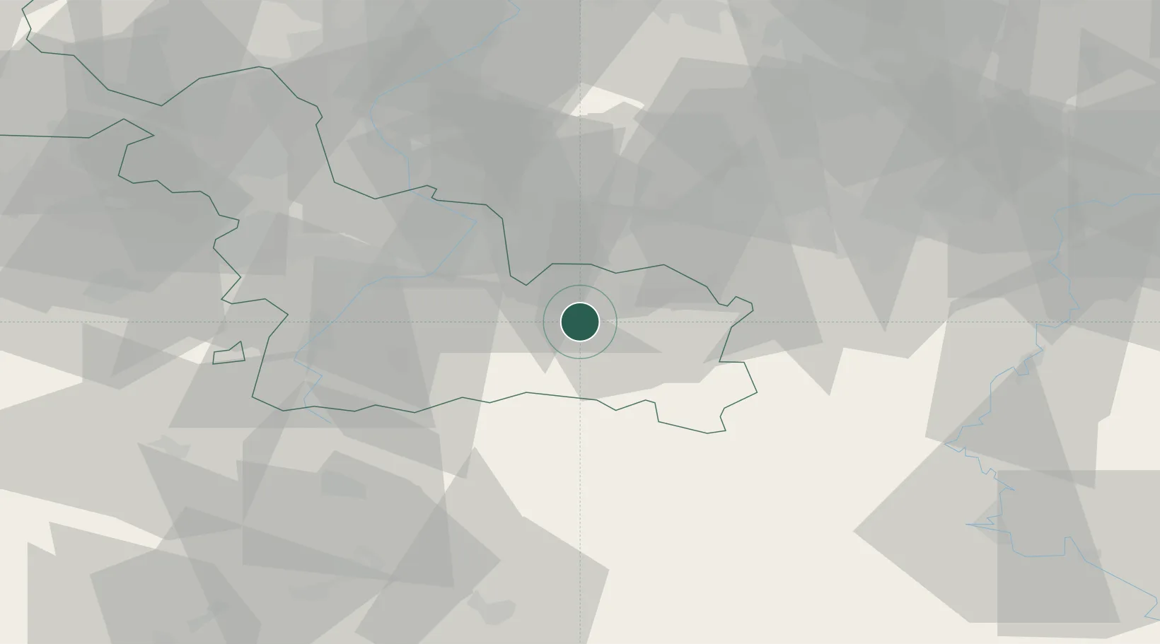
Hub Profile
Place type
Populated place
Region
Hauts-de-France
Population
2,635
Time zone
Europe/Paris
Elevation
132 m
Location
Nearby Logistics Neighbours
Cities
- 1Aulnoye-Aymeries2 km
- 2Hautmont9 km
- 3Maubeuge13 km
- 4Gommegnies14 km
- 5Flaumont-Waudrechies14 km
Airports
- 1Valenciennes-Denain Airfield28 km
- 2Chièvres Air Base40 km
- 3Brussels South Charleroi Airport53 km
- 4Florennes Air Base59 km
- 5Lille Airport64 km
DatabookThe Record of Consolidated Knowledge
France beyond logistics?