Transport Functions
Port
Hub Profile
Place type
Populated place
Region
Brittany
Time zone
Europe/Paris
Elevation
11 m
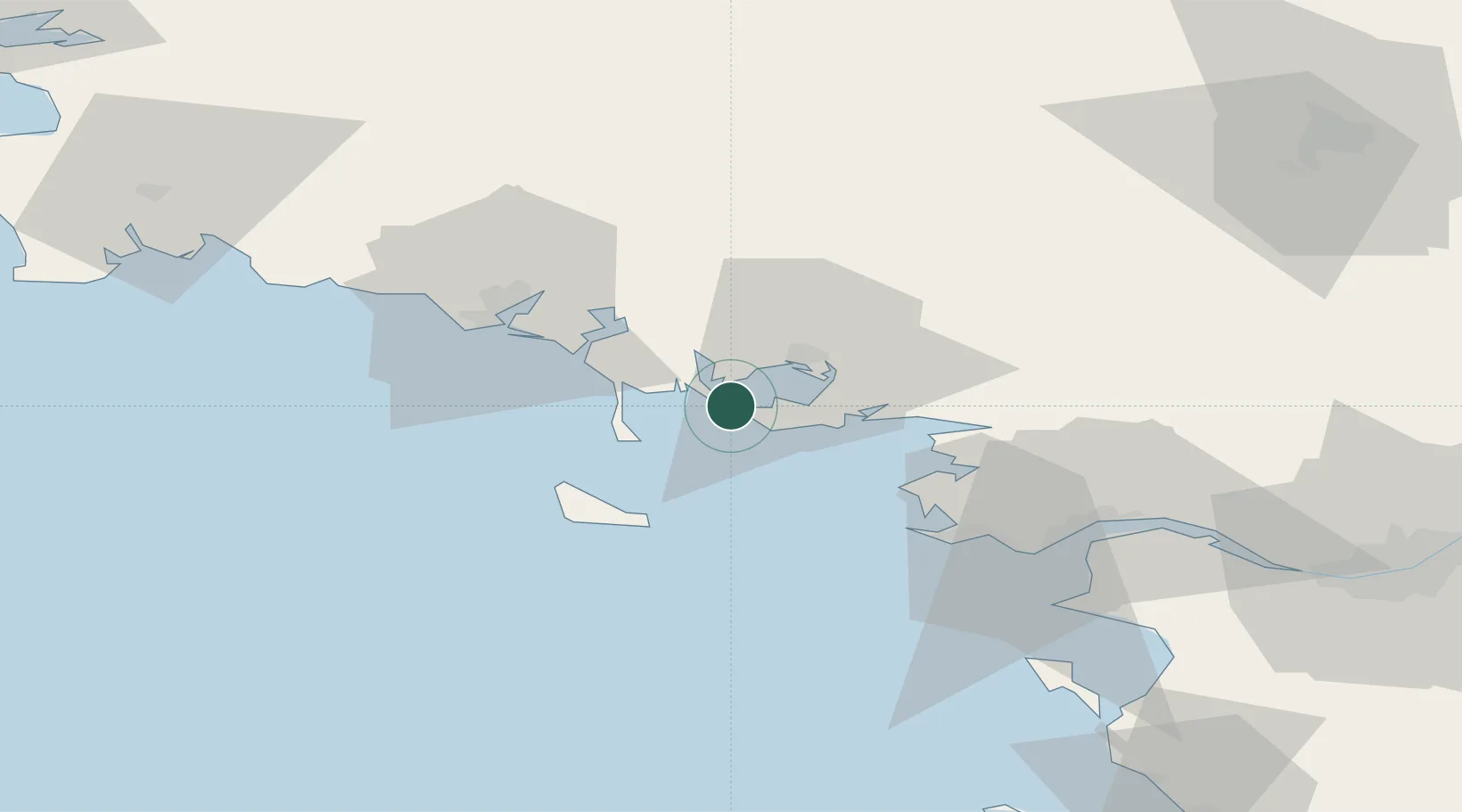
Location
Nearby Logistics Neighbours
Cities
- 1Larmor-Baden4 km
- 2Locmariaquer4 km
- 3Baden8 km
- 4Le Moustoir8 km
- 5Crach11 km
Ports
- 1Lorient40 km
- 2St Nazaire60 km
- 3Montoir64 km
- 4Donges69 km
- 5Concarneau84 km
Airports
Trade Zones
- 1ZFU Saint-Nazaire56 km
- 2ZFU Nantes et Saint-Herblain97 km
- 3ZFU Angers173 km
- 4ZFU La Rochelle201 km
- 5ZFU Le Mans231 km
DatabookThe Record of Consolidated Knowledge
France beyond logistics?