UN/LOCODE hub · France
FRUIP

Quimper

48.0000°, -4.1000°
63,849
Population
3
Transport functions

Transport Functions

Port
Rail
Airport
UN/LOCODE

Hub Profile

Place type
Provincial seat
GeoNames
Region
Brittany
GeoNames
Population
63,849
GeoNames
Time zone
Europe/Paris
GeoNames
Elevation
13 m
GeoNames

Location

Location of FRUIP
Natural Earth 10m (public domain) · Brittany · FRUIP · 48.00, -4.10GoogleOSMYandex

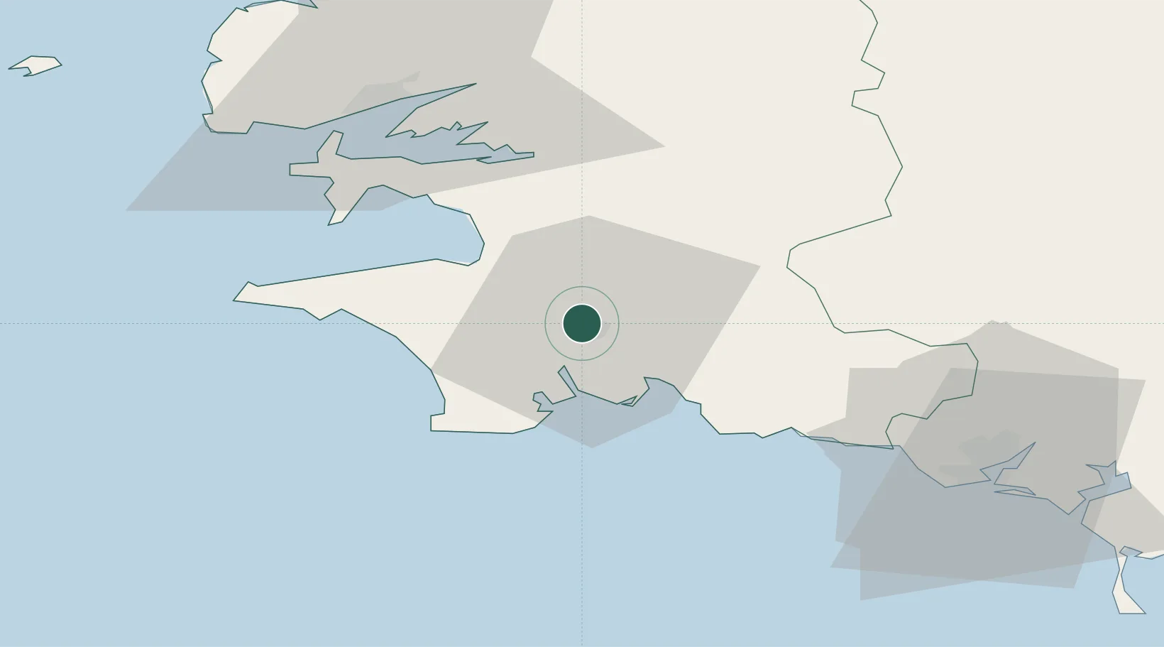
Nearby Logistics Neighbours

Cities
  1. 1Pleuven12 km
  2. 2La Forêt-Fouesnant13 km
  3. 3Fouesnant13 km
  4. 4Combrit13 km
  5. 5Bénodet15 km
Nearest neighbours — logibook spatial index (haversine) over the source coordinates
Ports
  1. 1Concarneau20 km
  2. 2Rade De Brest52 km
  3. 3Lorient63 km
  4. 4Morlaix68 km
  5. 5Port De Roscoff-Bloscon82 km
Nearest neighbours — logibook spatial index (haversine) over the source coordinates
Airports
  1. 1Quimper-Cornouaille Airport6 km
  2. 2Lanvéoc-Poulmic Air Base41 km
  3. 3Brest Bretagne airport55 km
  4. 4Lorient South Brittany (Bretagne Sud) Airport56 km
  5. 5Landivisiau Air Base59 km
Nearest neighbours — logibook spatial index (haversine) over the source coordinates
Trade Zones
  1. 1ZFU Saint-Nazaire159 km
  2. 2ZFU Nantes et Saint-Herblain199 km
  3. 3ZFU Cherbourg-Octeville255 km
  4. 4Oceansgate Plymouth264 km
  5. 5Heart of the South West Enterprise Zone266 km
Nearest neighbours — logibook spatial index (haversine) over the source coordinates
DatabookThe Record of Consolidated Knowledge
France beyond logistics?
Browse databook

All Sources

LocationsUN/LOCODE
UN/LOCODE — free
LocationsGeoNames
CC BY 4.0
Portsthe NGA World Port Index
Public domain (US gov)
AirportsOurAirports
Public domain
Trade Zonesthe World Bank SEZ database
CC BY 4.0
Trade ZonesOpen Zone Map
CC BY
← France locations