Transport Functions
Road
Multimodal
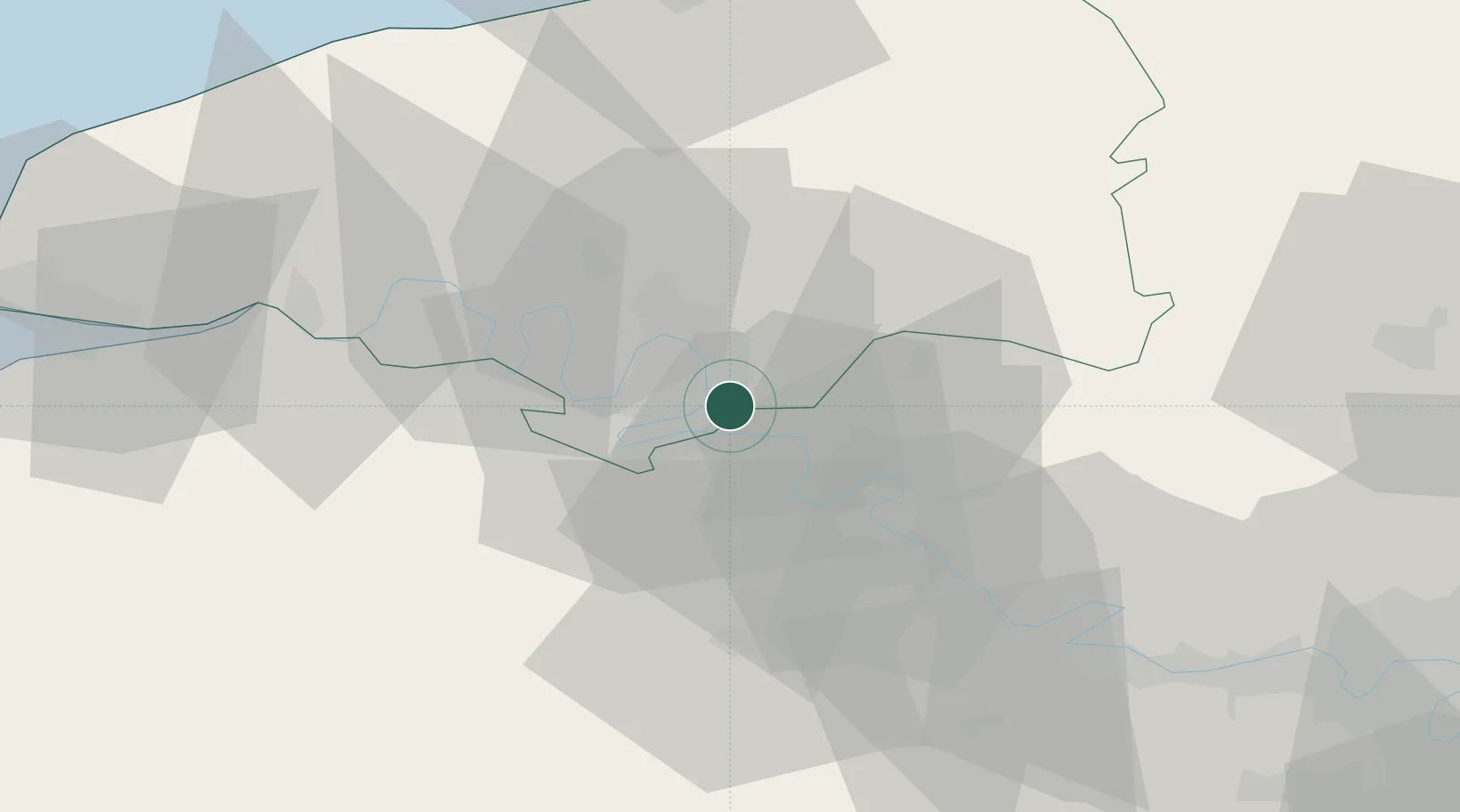
Hub Profile
Place type
Populated place
Region
Normandy
Population
810
Time zone
Europe/Paris
Elevation
79 m
Location
Nearby Logistics Neighbours
Cities
- 1Criquebeuf-sur-Seine7 km
- 2Poses8 km
- 3Sotteville-lès-Rouen8 km
- 4Martot9 km
- 5Petit-Couronne9 km
Ports
- 1Port Of Rouen13 km
- 2Dieppe65 km
- 3Honfleur68 km
- 4Fecamp73 km
- 5Port Of Le Havre76 km
Airports
Trade Zones
- 1ZFU Rouen Bihorel13 km
- 2ZFU Évreux36 km
- 3ZFU Mantes-la-Jolie57 km
- 4ZFU Beauvais66 km
- 5ZFU Les Mureaux67 km
DatabookThe Record of Consolidated Knowledge
France beyond logistics?