UN/LOCODE hub · France
FRPQE

Poses

49.3000°, 1.2333°
1,163
Population
3
Transport functions

Transport Functions

Port
Rail
Road
UN/LOCODE

Hub Profile

Place type
Populated place
GeoNames
Region
Normandy
GeoNames
Population
1,163
GeoNames
Time zone
Europe/Paris
GeoNames
Elevation
10 m
GeoNames

Location

Location of FRPQE
Natural Earth 10m (public domain) · Normandy · FRPQE · 49.30, 1.23GoogleOSMYandex

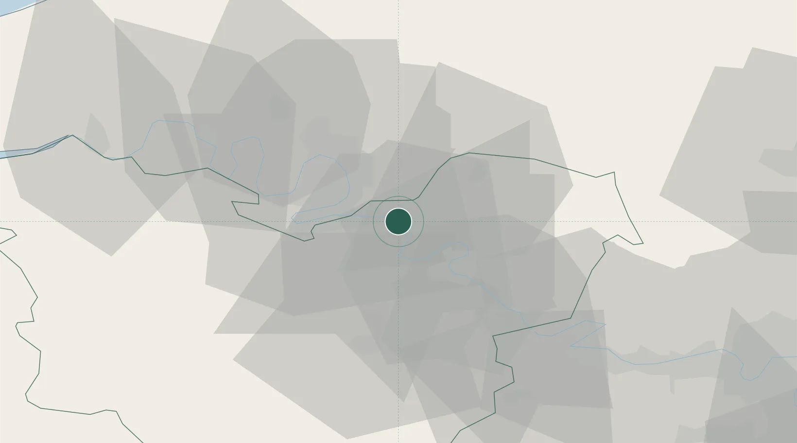
Nearby Logistics Neighbours

Cities
  1. 1Val-de-Reuil4 km
  2. 2Gouy8 km
  3. 3Criquebeuf-sur-Seine10 km
  4. 4Les Trois Lacs10 km
  5. 5Muids11 km
Nearest neighbours — logibook spatial index (haversine) over the source coordinates
Ports
  1. 1Port Of Rouen21 km
  2. 2Dieppe71 km
  3. 3Honfleur75 km
  4. 4Fecamp81 km
  5. 5Port Of Le Havre83 km
Nearest neighbours — logibook spatial index (haversine) over the source coordinates
Airports
  1. 1Rouen Vallée de Seine Airport10 km
  2. 2Évreux-Fauville (BA 105) Air Base30 km
  3. 3Pontoise-Cormeilles Aerodrome63 km
  4. 4Beauvais-Tillé airport66 km
  5. 5Deauville Normandie airport79 km
Nearest neighbours — logibook spatial index (haversine) over the source coordinates
Trade Zones
  1. 1ZFU Rouen Bihorel21 km
  2. 2ZFU Évreux31 km
  3. 3ZFU Mantes-la-Jolie49 km
  4. 4ZFU Les Mureaux59 km
  5. 5ZFU Beauvais62 km
Nearest neighbours — logibook spatial index (haversine) over the source coordinates
DatabookThe Record of Consolidated Knowledge
France beyond logistics?
Browse databook

All Sources

LocationsUN/LOCODE
UN/LOCODE — free
LocationsGeoNames
CC BY 4.0
Portsthe NGA World Port Index
Public domain (US gov)
AirportsOurAirports
Public domain
Trade Zonesthe World Bank SEZ database
CC BY 4.0
Trade ZonesOpen Zone Map
CC BY
← France locations