UN/LOCODE hub · France
FRQQS

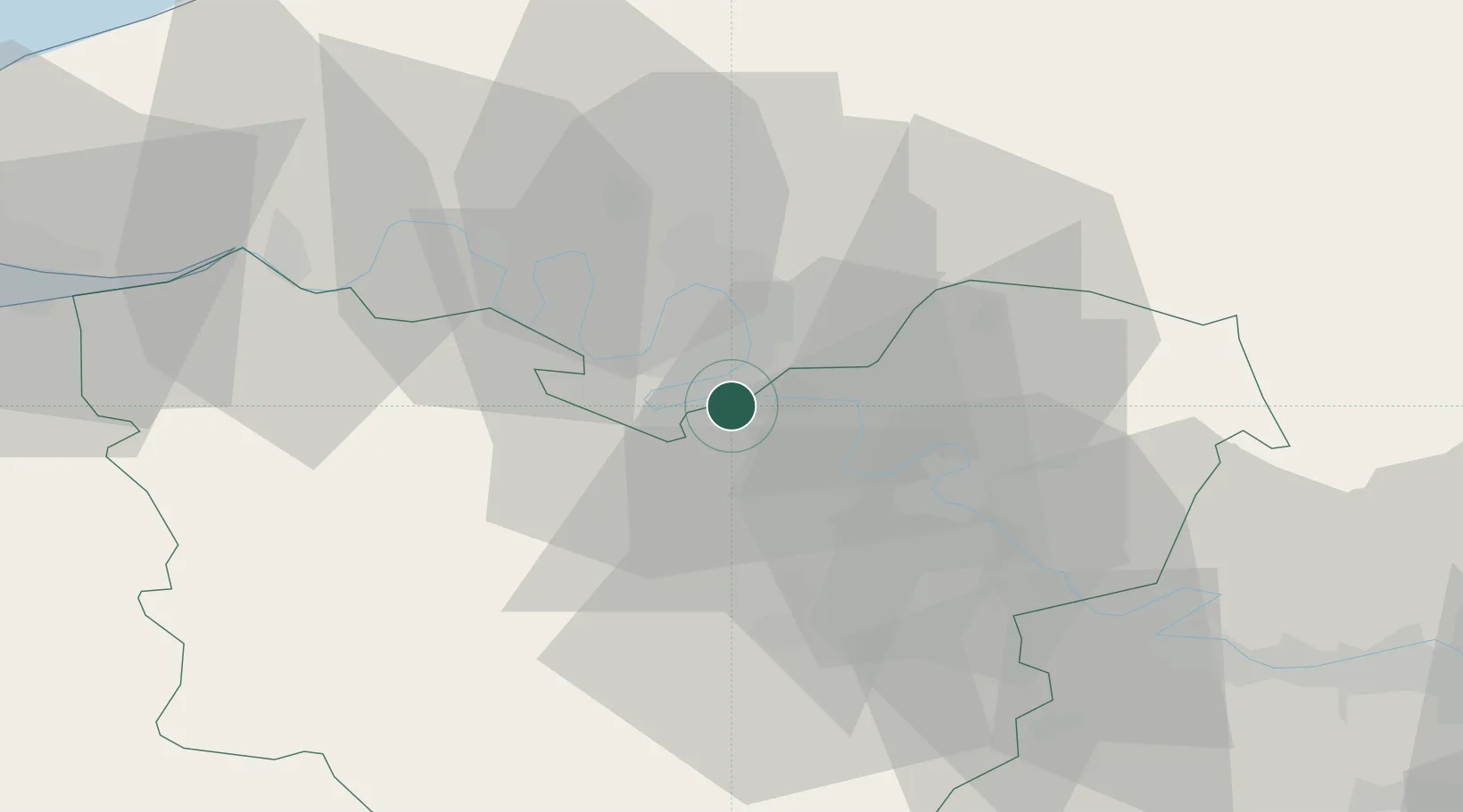
Criquebeuf-sur-Seine

49.3000°, 1.1000°
1,085
Population
1
Transport functions

Transport Functions

Multimodal
UN/LOCODE

Hub Profile

Place type
Populated place
GeoNames
Region
Normandy
GeoNames
Population
1,085
GeoNames
Time zone
Europe/Paris
GeoNames
Elevation
11 m
GeoNames

Location

Location of FRQQS
Natural Earth 10m (public domain) · Normandy · FRQQS · 49.30, 1.10GoogleOSMYandex

Nearby Logistics Neighbours

Cities
  1. 1Martot4 km
  2. 2Gouy7 km
  3. 3Val-de-Reuil8 km
  4. 4Val-de-la-Haye9 km
  5. 5Poses10 km
Nearest neighbours — logibook spatial index (haversine) over the source coordinates
Ports
  1. 1Port Of Rouen17 km
  2. 2Honfleur65 km
  3. 3Dieppe70 km
  4. 4Port Of Le Havre74 km
  5. 5Deauville74 km
Nearest neighbours — logibook spatial index (haversine) over the source coordinates
Airports
  1. 1Rouen Vallée de Seine Airport11 km
  2. 2Évreux-Fauville (BA 105) Air Base31 km
  3. 3Deauville Normandie airport69 km
  4. 4Pontoise-Cormeilles Aerodrome72 km
  5. 5Beauvais-Tillé airport75 km
Nearest neighbours — logibook spatial index (haversine) over the source coordinates
Trade Zones
  1. 1ZFU Rouen Bihorel18 km
  2. 2ZFU Évreux31 km
  3. 3ZFU Mantes-la-Jolie56 km
  4. 4ZFU Dreux et Sainte-Gemme-Moronval65 km
  5. 5ZFU Les Mureaux67 km
Nearest neighbours — logibook spatial index (haversine) over the source coordinates
DatabookThe Record of Consolidated Knowledge
France beyond logistics?
Browse databook

All Sources

LocationsUN/LOCODE
UN/LOCODE — free
LocationsGeoNames
CC BY 4.0
Portsthe NGA World Port Index
Public domain (US gov)
AirportsOurAirports
Public domain
Trade Zonesthe World Bank SEZ database
CC BY 4.0
Trade ZonesOpen Zone Map
CC BY
← France locations