Transport Functions
Rail
Road
Hub Profile
Place type
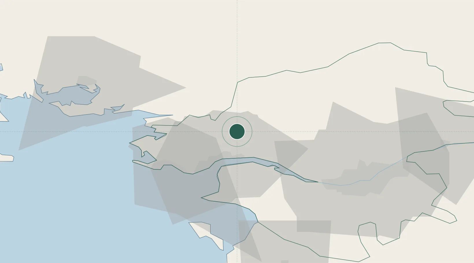
Populated place
Region
Pays de la Loire
Population
8,474
Time zone
Europe/Paris
Elevation
13 m
Location
Nearby Logistics Neighbours
Cities
- 1Prinquiau9 km
- 2Saint-Joachim10 km
- 3La Chapelle-Launay12 km
- 4Guenrouet13 km
- 5Montoir-de-Bretagne15 km
Ports
- 1Donges15 km
- 2Montoir15 km
- 3St Nazaire19 km
- 4Nantes47 km
- 5Lorient101 km
Airports
Trade Zones
- 1ZFU Saint-Nazaire23 km
- 2ZFU Nantes et Saint-Herblain37 km
- 3ZFU Angers112 km
- 4ZFU La Rochelle156 km
- 5ZFU Le Mans176 km
DatabookThe Record of Consolidated Knowledge
France beyond logistics?