UN/LOCODE hub · France
FRXCD
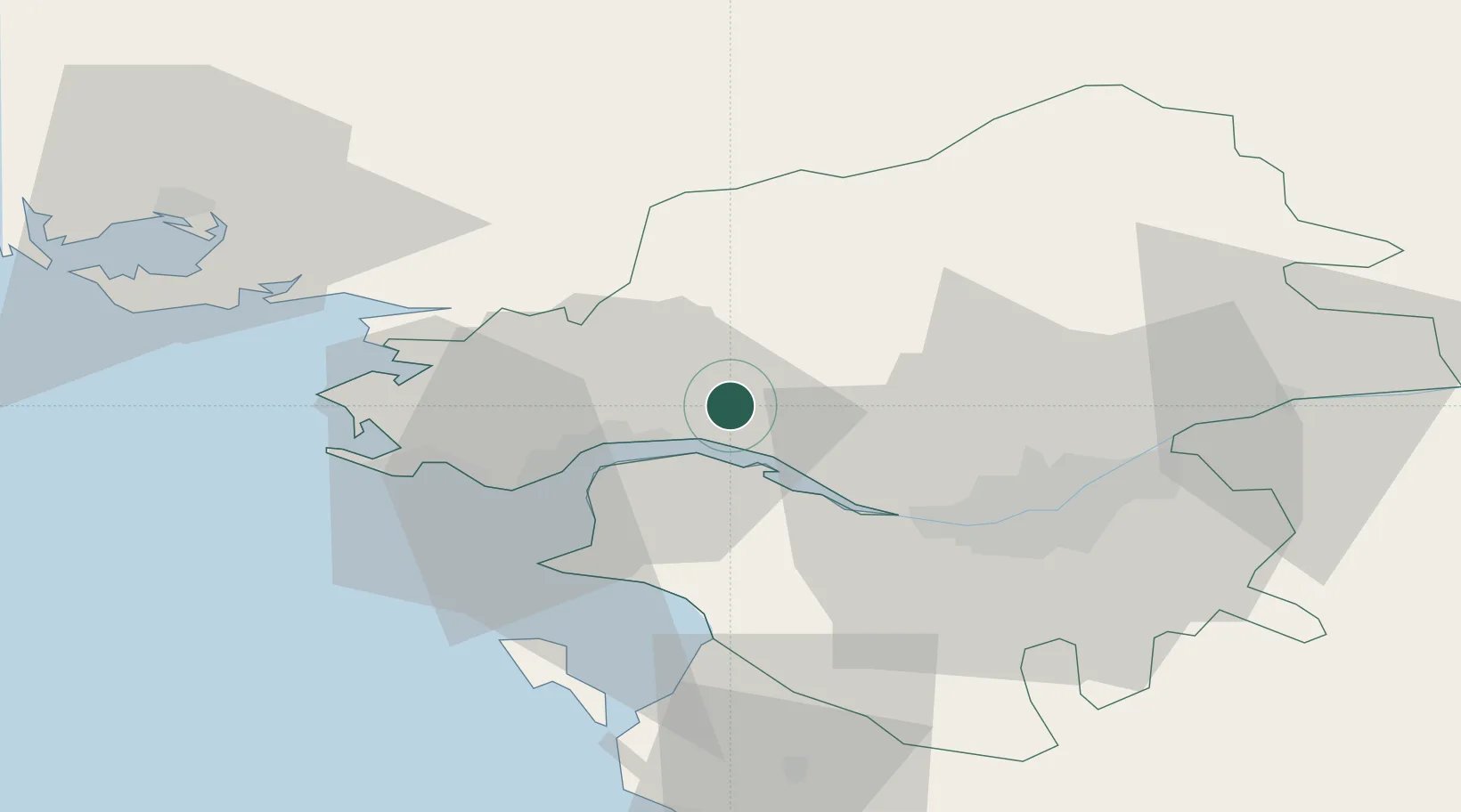
La Chapelle-Launay
47.3667°, -1.9667°
2,467
Population
1
Transport functions
Transport Functions
Multimodal
Hub Profile
Place type
Populated place
Region
Pays de la Loire
Population
2,467
Time zone
Europe/Paris
Elevation
53 m
Location
Nearby Logistics Neighbours
Cities
- 1Prinquiau4 km
- 2Paimbuf10 km
- 3Donges11 km
- 4Cordemais11 km
- 5Pontchâteau12 km
Ports
- 1Donges11 km
- 2Montoir15 km
- 3St Nazaire20 km
- 4Nantes35 km
- 5Les Sables D' Olonne97 km
Airports
Trade Zones
- 1ZFU Saint-Nazaire25 km
- 2ZFU Nantes et Saint-Herblain26 km
- 3ZFU Angers104 km
- 4ZFU La Rochelle146 km
- 5ZFU Le Mans171 km
DatabookThe Record of Consolidated Knowledge
France beyond logistics?