Transport Functions
Rail
Road
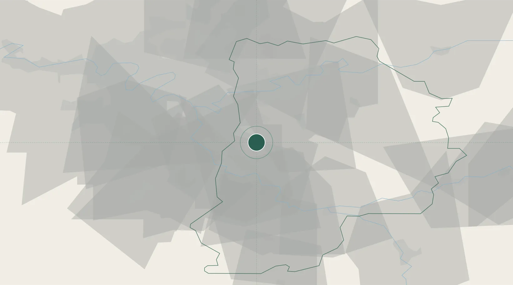
Hub Profile
Place type
Populated place
Region
Île-de-France
Population
2,200
Time zone
Europe/Paris
Elevation
99 m
Location
Nearby Logistics Neighbours
Cities
- 1Servon8 km
- 2Gretz-Armainvilliers9 km
- 3Boussy-Saint-Antoine10 km
- 4Ozoir-la-Ferrière11 km
- 5Vert-Saint-Denis12 km
Ports
- 1Port Of Rouen146 km
- 2Dieppe182 km
- 3Le Treport182 km
- 4Saint-Valery-Sur-Somme185 km
- 5Honfleur197 km
Airports
Trade Zones
DatabookThe Record of Consolidated Knowledge
France beyond logistics?