UN/LOCODE hub · France
FROLF
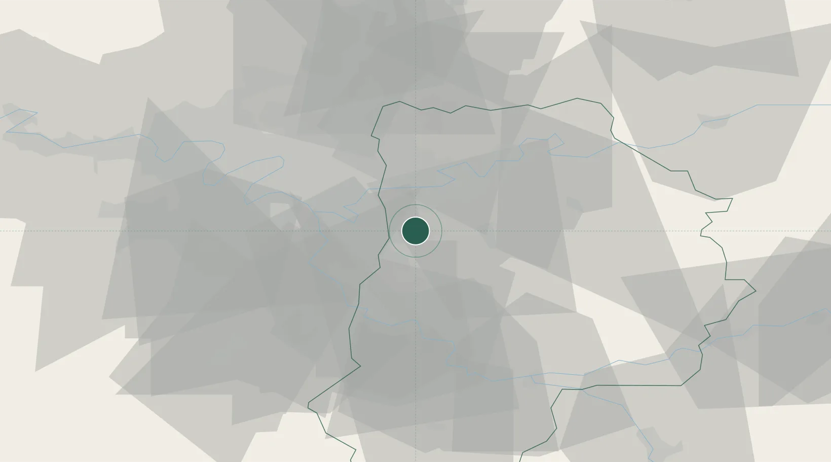
Ozoir-la-Ferrière
48.7667°, 2.6667°
22,530
Population
2
Transport functions
Transport Functions
Rail
Road
Hub Profile
Place type
Populated place
Region
Île-de-France
Population
22,530
Time zone
Europe/Paris
Elevation
108 m
Location
Nearby Logistics Neighbours
Cities
- 1Pontault-Combault5 km
- 2Gretz-Armainvilliers6 km
- 3Ferrières-en-Brie7 km
- 4Bussy-Saint-Martin8 km
- 5Marne-la-Vallée8 km
Ports
- 1Port Of Rouen139 km
- 2Le Treport172 km
- 3Dieppe173 km
- 4Saint-Valery-Sur-Somme175 km
- 5Honfleur193 km
Airports
Trade Zones
DatabookThe Record of Consolidated Knowledge
France beyond logistics?