UN/LOCODE hub · France
FRGRA

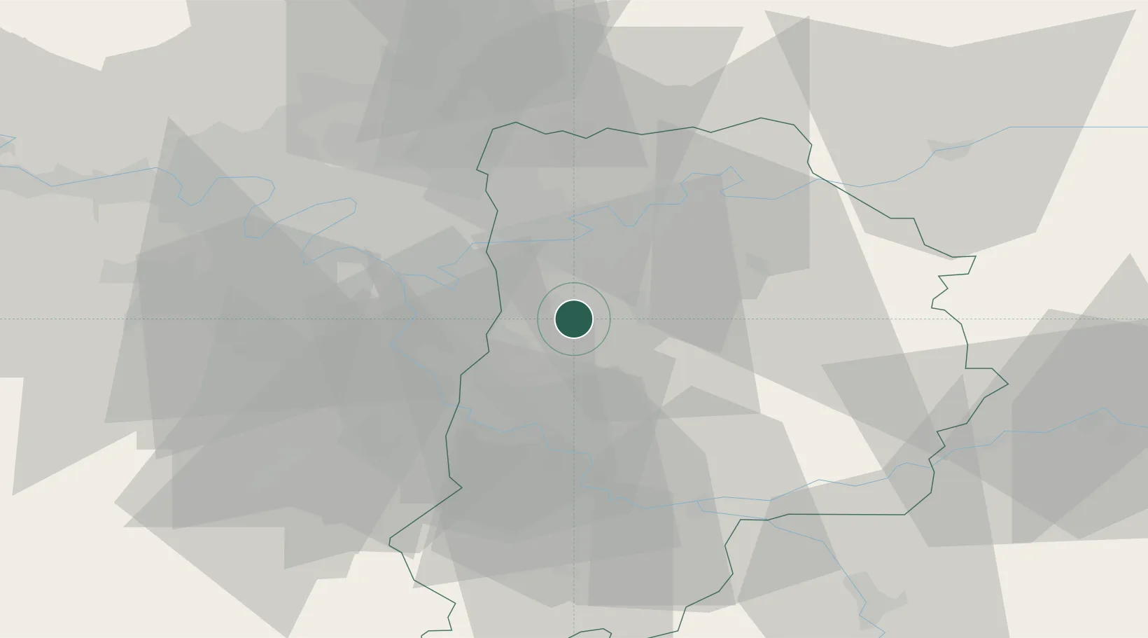
Gretz-Armainvilliers

48.7333°, 2.7333°
7,831
Population
1
Transport functions

Transport Functions

Rail
UN/LOCODE

Hub Profile

Place type
Populated place
GeoNames
Region
Île-de-France
GeoNames
Population
7,831
GeoNames
Time zone
Europe/Paris
GeoNames
Elevation
107 m
GeoNames

Location

Location of FRGRA
Natural Earth 10m (public domain) · Île-de-France · FRGRA · 48.73, 2.73GoogleOSMYandex

Nearby Logistics Neighbours

Cities
  1. 1Ozoir-la-Ferrière6 km
  2. 2Grisy-Suisnes9 km
  3. 3Ferrières-en-Brie9 km
  4. 4Servon11 km
  5. 5Pontault-Combault11 km
Nearest neighbours — logibook spatial index (haversine) over the source coordinates
Ports
  1. 1Port Of Rouen145 km
  2. 2Le Treport178 km
  3. 3Dieppe179 km
  4. 4Saint-Valery-Sur-Somme180 km
  5. 5Honfleur198 km
Nearest neighbours — logibook spatial index (haversine) over the source coordinates
Airports
  1. 1Melun-Villaroche Airfield15 km
  2. 2Paris-Orly Airport26 km
  3. 3Charles de Gaulle International Airport33 km
  4. 4Paris-Le Bourget International Airport34 km
  5. 5Vélizy-Villacoublay Air Base39 km
Nearest neighbours — logibook spatial index (haversine) over the source coordinates
Trade Zones
  1. 1ZFU Champigny-sur-Marne et Chennevières-sur-Marne16 km
  2. 2ZFU Epinay-sous-Sénart18 km
  3. 3ZFU Neuilly-sur-Marne21 km
  4. 4ZFU Melun22 km
  5. 5ZFU Clichy-sous-Bois et Montfermeil23 km
Nearest neighbours — logibook spatial index (haversine) over the source coordinates
DatabookThe Record of Consolidated Knowledge
France beyond logistics?
Browse databook

All Sources

LocationsUN/LOCODE
UN/LOCODE — free
LocationsGeoNames
CC BY 4.0
Portsthe NGA World Port Index
Public domain (US gov)
AirportsOurAirports
Public domain
Trade Zonesthe World Bank SEZ database
CC BY 4.0
Trade ZonesOpen Zone Map
CC BY
← France locations